Medium airport · Sierra Leone
Yengema AirportGFYE
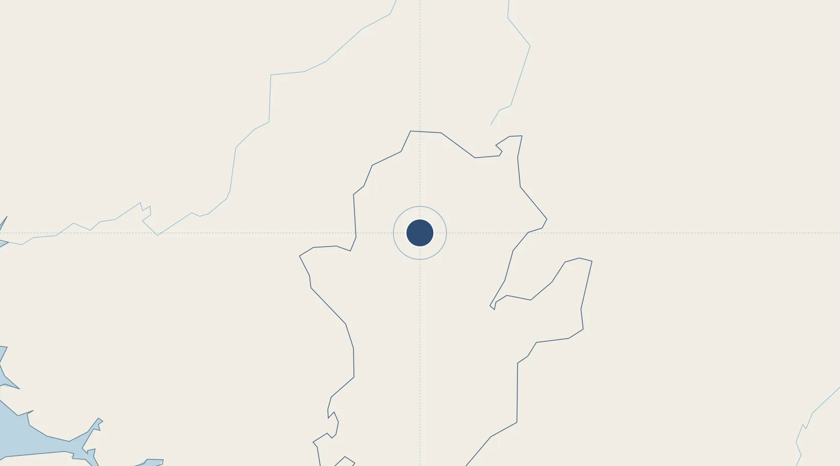
8.6105°, -11.0454°
3,000 ft
Longest runway
1
Runways
1,300 ft
Elevation
Runway & Layout

Runways · 1
| Runway | Dimensions | Surface | True heading | Lit |
|---|---|---|---|---|
| 15/33 | 3,000 × —ft | Turf | — | — |
Airport Specifications
IATA code
WYE
ICAO code
GFYE
Airport class
Medium airport
Scheduled service
No
Runway surface
Turf
Served city
Yengema
Location
Nearby Logistics Neighbours
Airports
- 1Kenema Airport81 km
- 2Bo Airport108 km
- 3Lungi International Airport236 km
- 4Spriggs Payne Airport260 km
- 5Roberts International Airport275 km
DatabookThe Record of Consolidated Knowledge
Sierra Leone beyond logistics?