Transport Functions
Multimodal
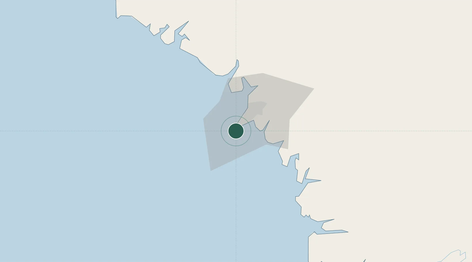
Hub Profile
Region
KD
Location
Nearby Logistics Neighbours
Airports
- 1Ahmed Sékou Touré International Airport13 km
- 2Lungi International Airport113 km
- 3Bo Airport275 km
- 4Yengema Airport308 km
- 5Kenema Airport330 km
Trade Zones
DatabookThe Record of Consolidated Knowledge
Guinea beyond logistics?