Transport Functions
Port
Airport
Postal
Hub Profile
Place type
National capital
Region
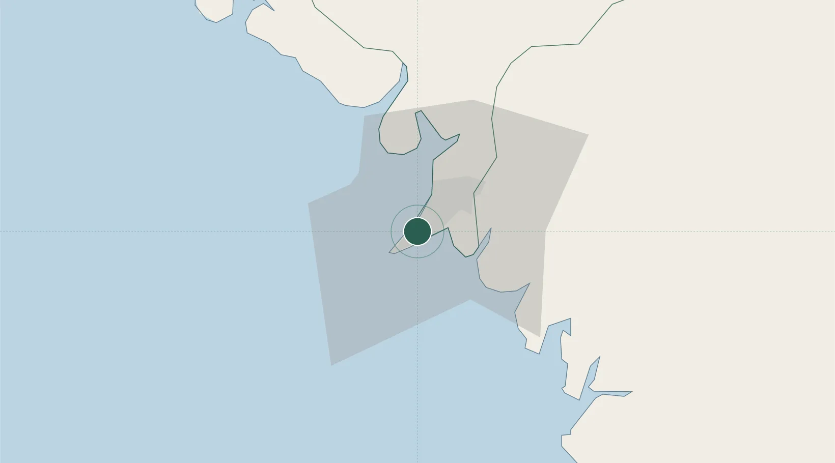
Conakry
Population
1,928,389
Time zone
Africa/Conakry
Elevation
13 m
Logistics facilities
5
Location
Nearby Logistics Neighbours
Cities
- 1Conakry Eco8 km
- 2Dubreka30 km
- 3Boffa81 km
- 4Kindia104 km
- 5Bel-Air116 km
Airports
- 1Ahmed Sékou Touré International Airport6 km
- 2Lungi International Airport117 km
- 3Bo Airport275 km
- 4Yengema Airport306 km
- 5Kenema Airport330 km
Trade Zones
DatabookThe Record of Consolidated Knowledge
Guinea beyond logistics?