UN/LOCODE hub · Indonesia
IDDJJ

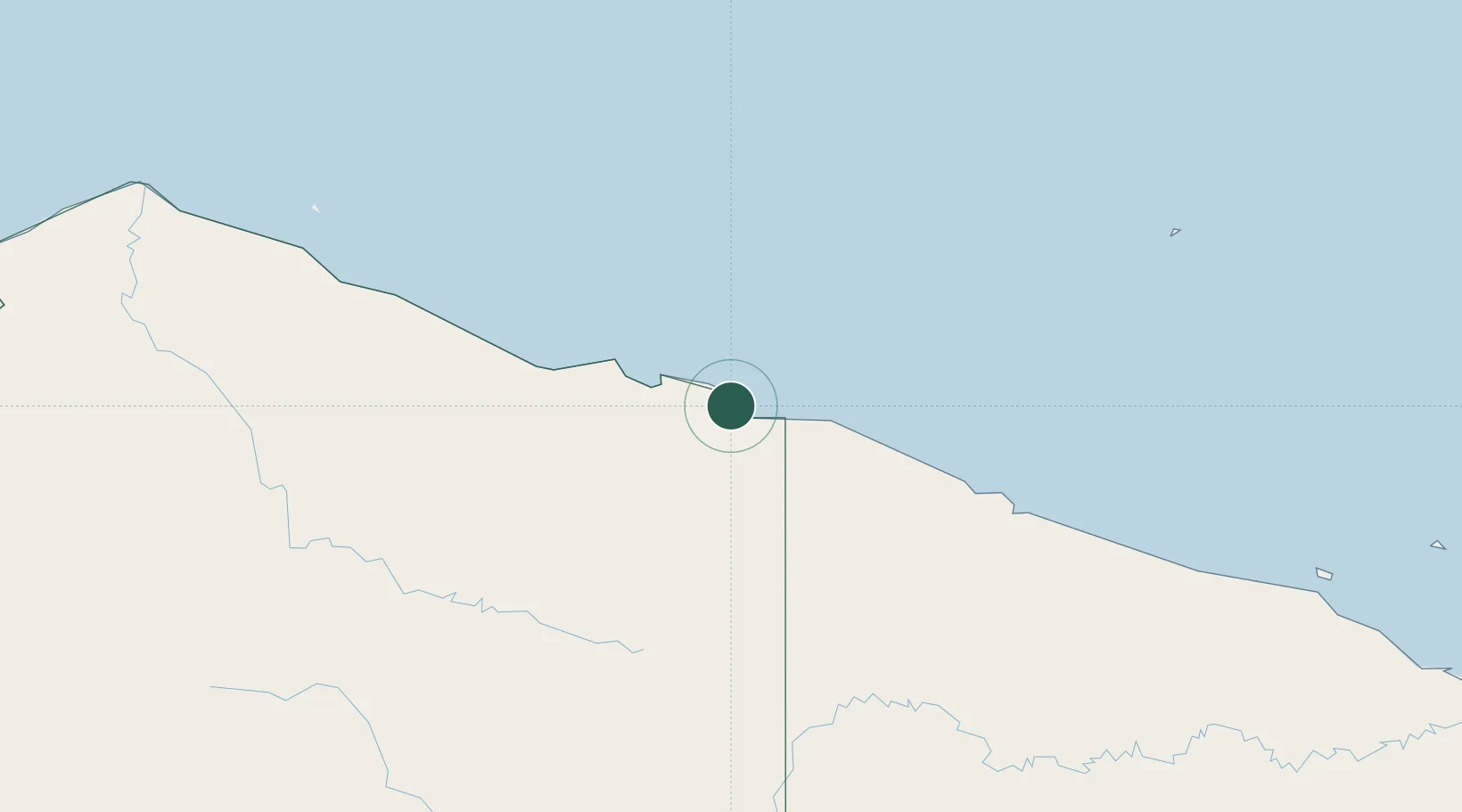
Jayapura, Irian Jaya

-2.5450°, 140.7139°
4
Transport functions
1
Container terminals

Transport Functions

Port
Road
Airport
Postal
UN/LOCODE

Hub Profile

Region
PA
GeoNames
Logistics facilities
1
UN/LOCODE
Container terminals
1
UN/LOCODE

Location

Location of IDDJJ
Natural Earth 10m (public domain) · PA · IDDJJ · -2.54, 140.71GoogleOSMYandex

Nearby Logistics Neighbours

Cities
  1. 1Demta69 km
  2. 2Yentchan332 km
  3. 3Wewak345 km
  4. 4Tambanum369 km
  5. 5Asike458 km
Nearest neighbours — logibook spatial index (haversine) over the source coordinates
Ports
  1. 1Vanimo49 km
  2. 2Wewak Harbor344 km
  3. 3Amamapare487 km
  4. 4Madang639 km
  5. 5Merauke661 km
Nearest neighbours — logibook spatial index (haversine) over the source coordinates
Airports
  1. 1Dortheys Hiyo Eluay International Airport22 km
  2. 2Vanimo Airport67 km
  3. 3Bordamban Airport212 km
  4. 4Dumpasik Airstrip214 km
  5. 5Kirimu Airstrip216 km
Nearest neighbours — logibook spatial index (haversine) over the source coordinates
Trade Zones
  1. 1Vanimo Special Economic Zone66 km
  2. 2Sandaun Special Economic Zone162 km
  3. 3Sepik Special Economic Zone200 km
  4. 4Manus Special Economic Zone299 km
  5. 5Western Province Special Economic Zone491 km
Nearest neighbours — logibook spatial index (haversine) over the source coordinates
DatabookThe Record of Consolidated Knowledge
Indonesia beyond logistics?
Browse databook

All Sources

LocationsUN/LOCODE
UN/LOCODE — free
Portsthe NGA World Port Index
Public domain (US gov)
AirportsOurAirports
Public domain
Trade Zonesthe World Bank SEZ database
CC BY 4.0
Trade ZonesOpen Zone Map
CC BY
← Indonesia locations