Transport Functions
Port
Road
Hub Profile
Place type
District seat
Region
Papua
Time zone
Asia/Jayapura
Elevation
3 m
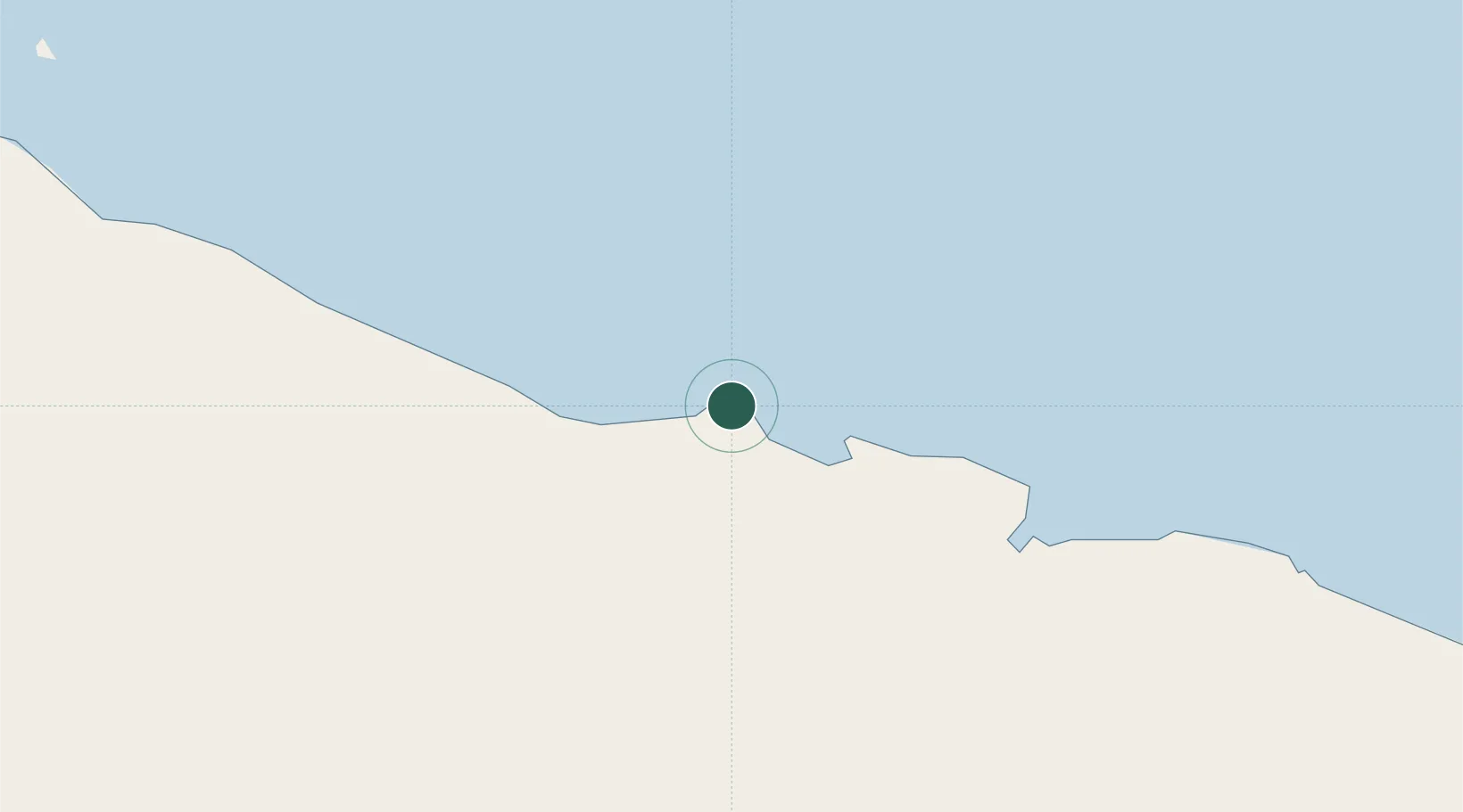
Location
Nearby Logistics Neighbours
Cities
- 1Jayapura, Irian Jaya69 km
- 2Yentchan400 km
- 3Wewak414 km
- 4Tambanum437 km
- 5Pomako464 km
Ports
- 1Vanimo118 km
- 2Wewak Harbor412 km
- 3Amamapare447 km
- 4Merauke684 km
- 5Manokwari Road692 km
Airports
- 1Dortheys Hiyo Eluay International Airport51 km
- 2Vanimo Airport136 km
- 3Bokondini Airport221 km
- 4Wamena Airport236 km
- 5Bordamban Airport238 km
Trade Zones
DatabookThe Record of Consolidated Knowledge
Indonesia beyond logistics?