Large airport · Indonesia

Dortheys Hiyo Eluay International AirportWAJJ
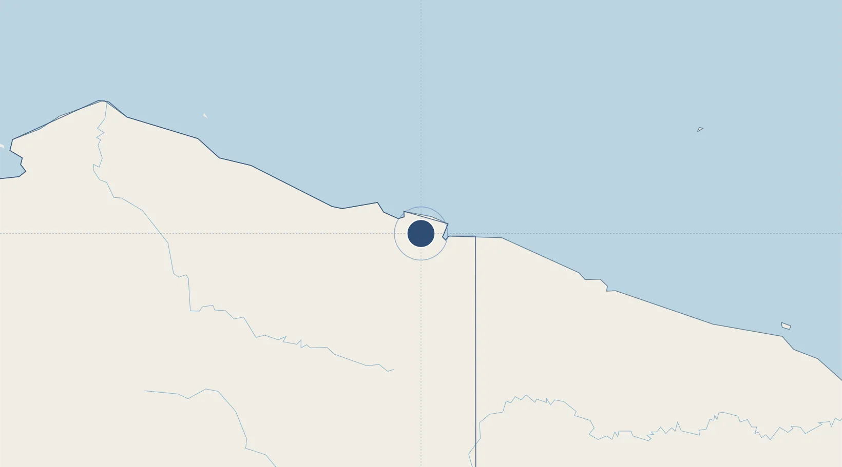
-2.5796°, 140.5199°
9,842 ft
Longest runway
1
Runways
289 ft
Elevation

Runway & Layout

Dortheys Hiyo Eluay International Airport runway & taxiway layout
Runway & taxiway layout — OpenStreetMap (ODbL) / OurAirports

Radio Frequencies

ATIS
128.8 MHz
TWR
118.1 MHz
SENTANI TOWER
APP
119.1 MHz
JAYAPURA APP
INFO
295.6 MHz
JAYAPURA INFO
OurAirports

Navaids

JPA VOR-DME Jayapura 116.20 MHz
ZN NDB Jayapura 395 kHz
OurAirports

Runways · 1

RunwayDimensions SurfaceTrue headingLit
12/30 9,842 × 148ft Asphalt 127°
OurAirports

Airport Specifications

IATA code
DJJ
OurAirports
ICAO code
WAJJ
OurAirports
Airport class
Large airport
OurAirports
Scheduled service
Yes
OurAirports
Runway surface
Asphalt
OurAirports
Served city
Sentani
OurAirports

Location

Location of WAJJ
Natural Earth 10m (public domain) · Papua · WAJJ · -2.58, 140.52GoogleOSMYandex

Nearby Logistics Neighbours

Airports
  1. 1Vanimo Airport88 km
  2. 2Bordamban Airport207 km
  3. 3Dumpasik Airstrip209 km
  4. 4Kirimu Airstrip210 km
  5. 5Hangmata Airstrip213 km
Nearest neighbours — logibook spatial index (haversine) over the source coordinates
Cities
  1. 1Jayapura, Irian Jaya22 km
  2. 2Demta51 km
  3. 3Yentchan349 km
  4. 4Wewak364 km
  5. 5Tambanum387 km
Nearest neighbours — logibook spatial index (haversine) over the source coordinates
Ports
  1. 1Vanimo69 km
  2. 2Wewak Harbor363 km
  3. 3Amamapare466 km
  4. 4Merauke657 km
  5. 5Madang657 km
Nearest neighbours — logibook spatial index (haversine) over the source coordinates
Trade Zones
  1. 1Vanimo Special Economic Zone86 km
  2. 2Sandaun Special Economic Zone163 km
  3. 3Sepik Special Economic Zone209 km
  4. 4Manus Special Economic Zone320 km
  5. 5Western Province Special Economic Zone484 km
Nearest neighbours — logibook spatial index (haversine) over the source coordinates
DatabookThe Record of Consolidated Knowledge
Indonesia beyond logistics?
Browse databook

All Sources

AirportsOurAirports
Public domain
Portsthe NGA World Port Index
Public domain (US gov)
LocationsUN/LOCODE
UN/LOCODE — free
Trade Zonesthe World Bank SEZ database
CC BY 4.0
Trade ZonesOpen Zone Map
CC BY
InfrastructureOpenStreetMap
ODbL 1.0
← Indonesia airports