Runway & Layout

Airport Specifications
Airport class
Small airport
Scheduled service
Yes
Served city
Bordamban
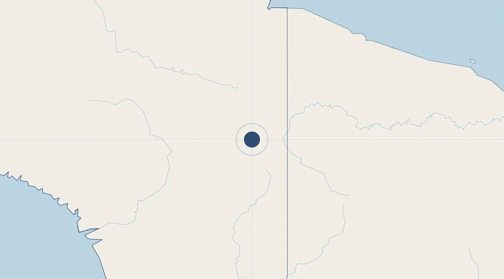
Location
Nearby Logistics Neighbours
Airports
- 1Dumpasik Airstrip3 km
- 2Kirimu Airstrip11 km
- 3Pedam Airstrip11 km
- 4Yapil Airstrip14 km
- 5Maksum Airstrip16 km
Cities
- 1Jayapura, Irian Jaya212 km
- 2Demta238 km
- 3Asike246 km
- 4Yentchan309 km
- 5Kassue316 km
Ports
- 1Vanimo208 km
- 2Wewak Harbor363 km
- 3Amamapare392 km
- 4Merauke450 km
- 5Daru595 km
Trade Zones
DatabookThe Record of Consolidated Knowledge
Indonesia beyond logistics?