Runway & Layout

Airport Specifications
Airport class
Small airport
Scheduled service
Yes
Served city
Hangmata
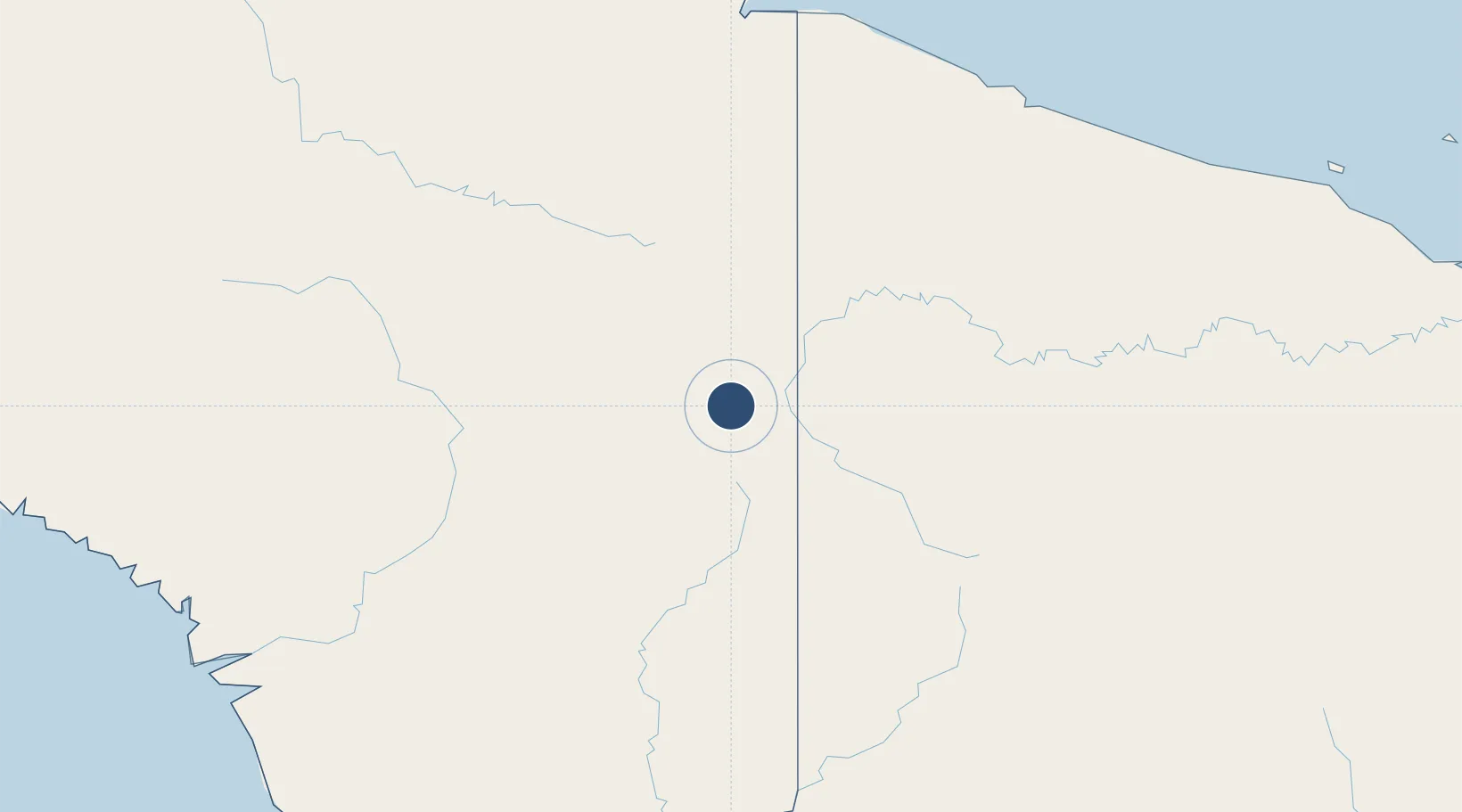
Location
Nearby Logistics Neighbours
Airports
- 1Yapil Airstrip12 km
- 2Mipol Airstrip13 km
- 3Kotyobakon Airstrip16 km
- 4Dumpasik Airstrip17 km
- 5Binban Airstrip17 km
Cities
- 1Jayapura, Irian Jaya217 km
- 2Asike241 km
- 3Demta247 km
- 4Yentchan290 km
- 5Kassue320 km
Ports
- 1Vanimo208 km
- 2Wewak Harbor346 km
- 3Amamapare411 km
- 4Merauke445 km
- 5Madang577 km
Trade Zones
DatabookThe Record of Consolidated Knowledge
Indonesia beyond logistics?