Transport Functions
Port
Hub Profile
Region
MBA
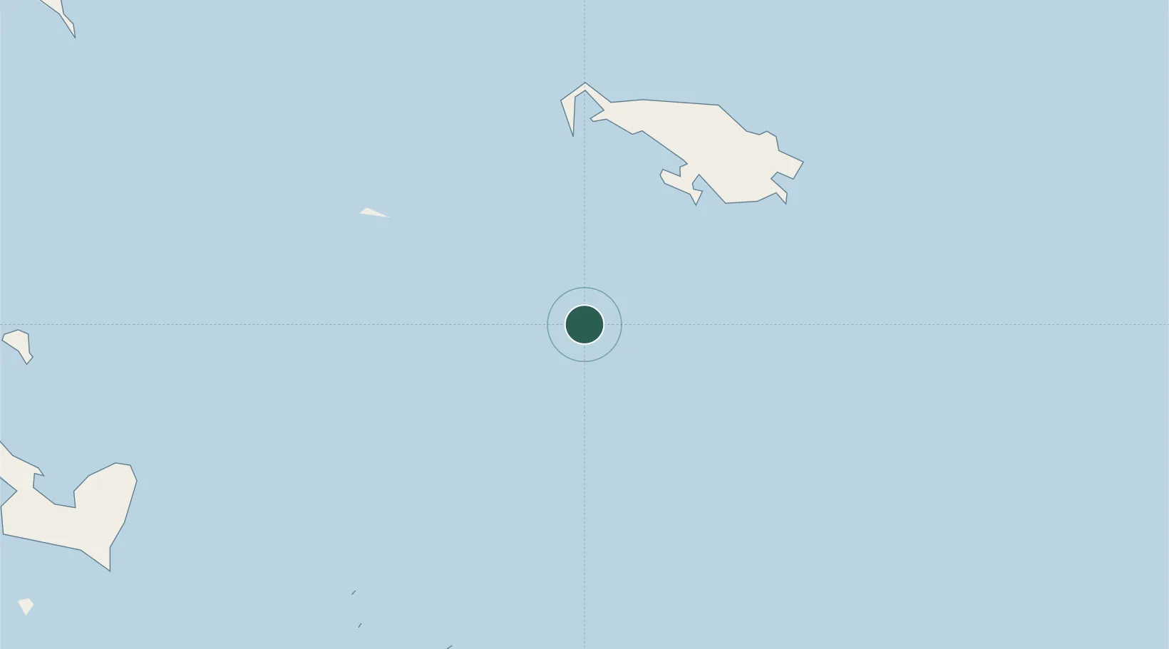
Location
Nearby Logistics Neighbours
Cities
- 1Gawa Island84 km
- 2Deboyne Lagoon135 km
- 3Laughlan Atoll137 km
- 4Conflict Group153 km
- 5Kaibola196 km
Ports
- 1Samarai228 km
- 2Alotoa234 km
- 3Oro Bay442 km
- 4Bialla501 km
- 5Gizo Harbor510 km
Airports
- 1Misima Island Airport132 km
- 2Losuia Airport191 km
- 3Gurney Airport246 km
- 4Tufi Airport348 km
- 5Mono Airport418 km
Trade Zones
DatabookThe Record of Consolidated Knowledge
Papua New Guinea beyond logistics?