UN/LOCODE hub · Papua New Guinea
PGGAW

Gawa Island

-8.9667°, 151.9833°
1
Transport functions

Transport Functions

Port
UN/LOCODE

Hub Profile

Region
MBA
GeoNames

Location

Location of PGGAW
Natural Earth 10m (public domain) · MBA · PGGAW · -8.97, 151.98GoogleOSMYandex

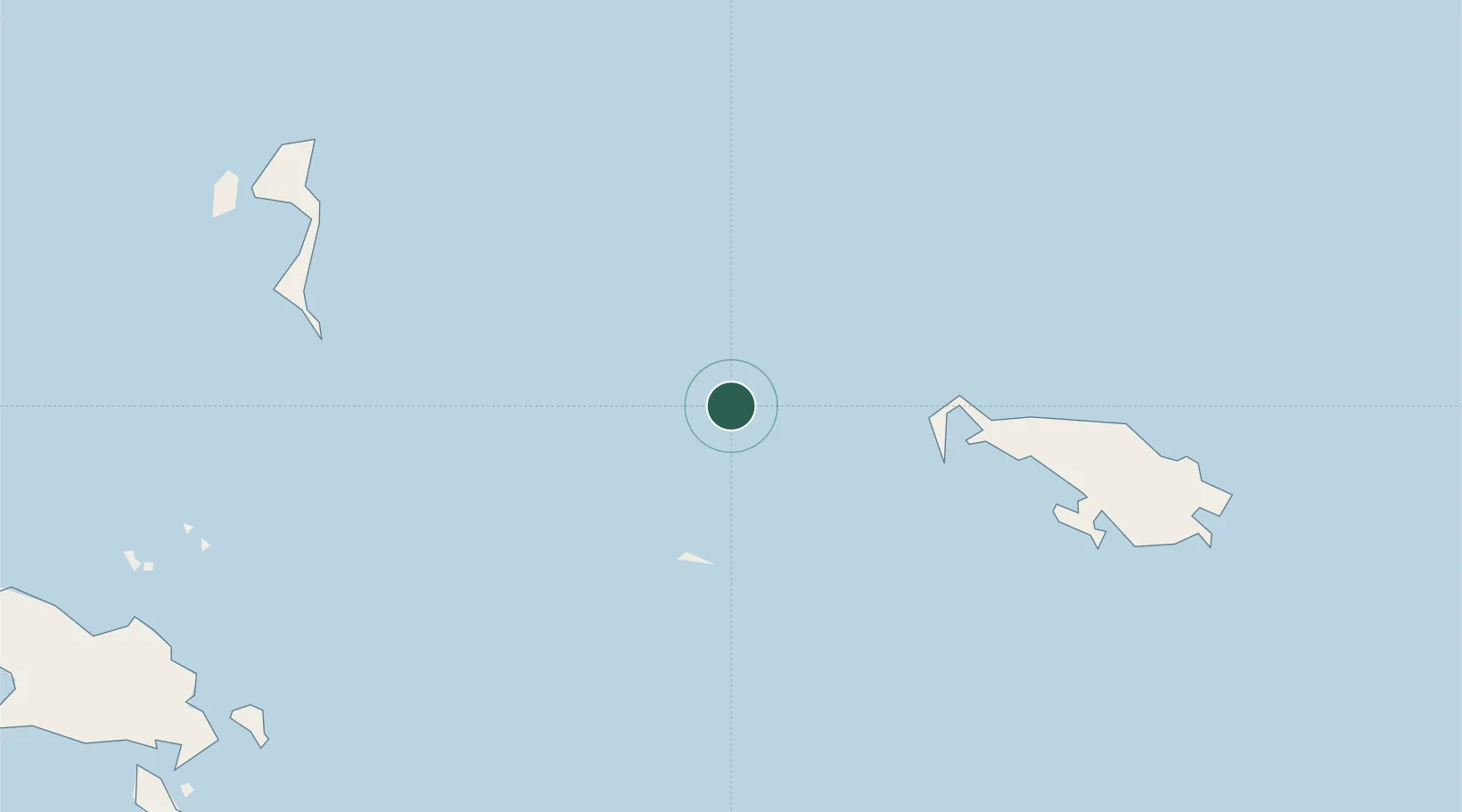
Nearby Logistics Neighbours

Cities
  1. 1Alcester Island84 km
  2. 2Kaibola115 km
  3. 3Laughlan Atoll188 km
  4. 4Conflict Group203 km
  5. 5Deboyne Lagoon207 km
Nearest neighbours — logibook spatial index (haversine) over the source coordinates
Ports
  1. 1Alotoa225 km
  2. 2Samarai233 km
  3. 3Oro Bay385 km
  4. 4Bialla422 km
  5. 5Kimbe455 km
Nearest neighbours — logibook spatial index (haversine) over the source coordinates
Airports
  1. 1Losuia Airport112 km
  2. 2Misima Island Airport213 km
  3. 3Gurney Airport235 km
  4. 4Tufi Airport293 km
  5. 5Gasmata Island Airport351 km
Nearest neighbours — logibook spatial index (haversine) over the source coordinates
Trade Zones
  1. 1Bana (Bougainville) Special Economic Zone526 km
  2. 2Ledger Atlas Special Economic Zone527 km
  3. 3Paga Hill Estate Special Economic Zone534 km
  4. 4Nadzab (Momase) Special Economic Zone629 km
  5. 5Morobe Agricultural Special Economic Zone727 km
Nearest neighbours — logibook spatial index (haversine) over the source coordinates
DatabookThe Record of Consolidated Knowledge
Papua New Guinea beyond logistics?
Browse databook

All Sources

LocationsUN/LOCODE
UN/LOCODE — free
Portsthe NGA World Port Index
Public domain (US gov)
AirportsOurAirports
Public domain
Trade Zonesthe World Bank SEZ database
CC BY 4.0
Trade ZonesOpen Zone Map
CC BY
← Papua New Guinea locations