Transport Functions
Port
Hub Profile
Region
MBA
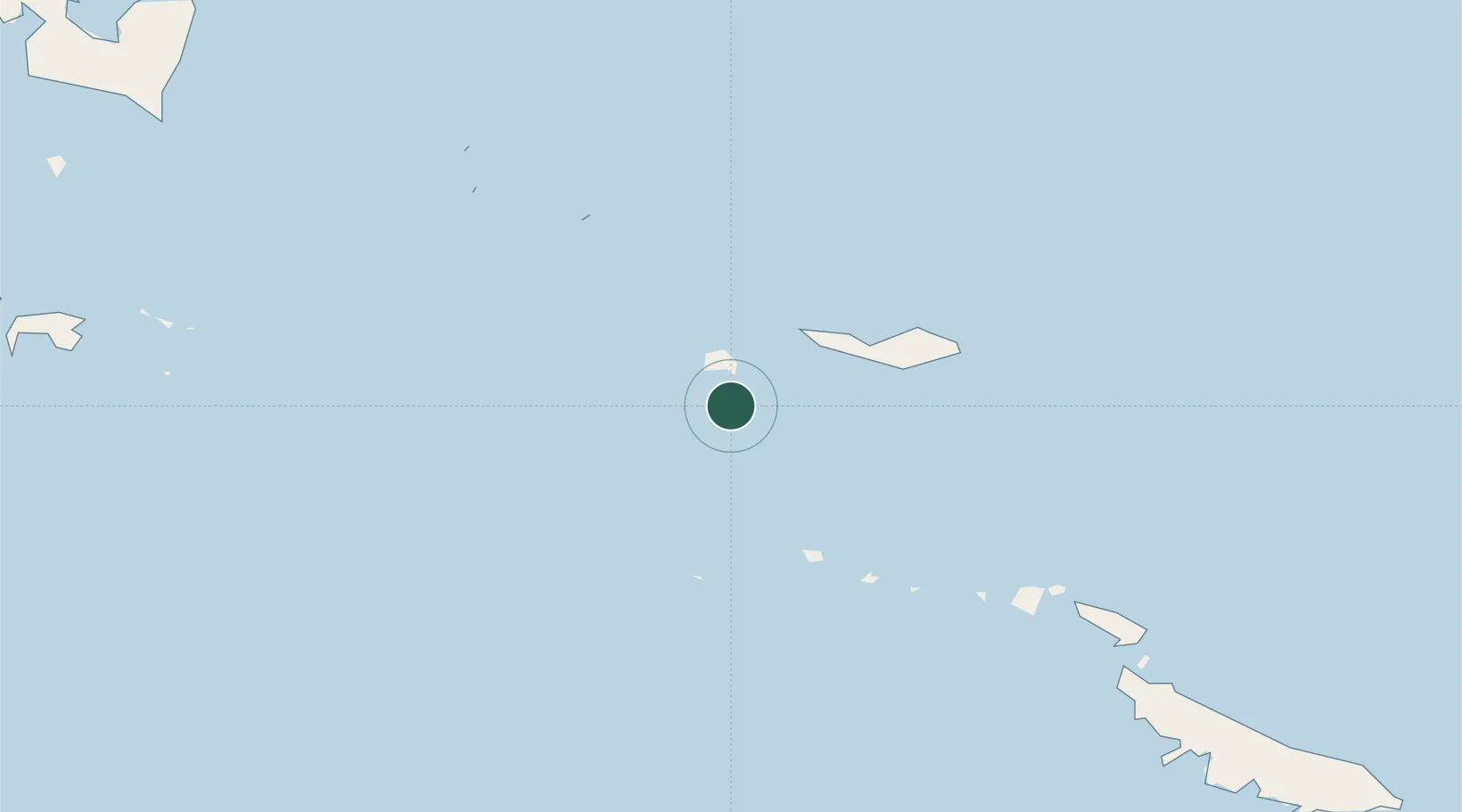
Location
Nearby Logistics Neighbours
Cities
- 1Conflict Group66 km
- 2Alcester Island135 km
- 3Samarai194 km
- 4Gawa Island207 km
- 5Laughlan Atoll217 km
Ports
- 1Samarai190 km
- 2Alotoa219 km
- 3Oro Bay478 km
- 4Gizo Harbor572 km
- 5Ringgi Cove595 km
Airports
- 1Misima Island Airport49 km
- 2Gurney Airport232 km
- 3Losuia Airport292 km
- 4Tufi Airport387 km
- 5Girua Airport499 km
Trade Zones
DatabookThe Record of Consolidated Knowledge
Papua New Guinea beyond logistics?