Transport Functions
Port
Hub Profile
Region
MBA
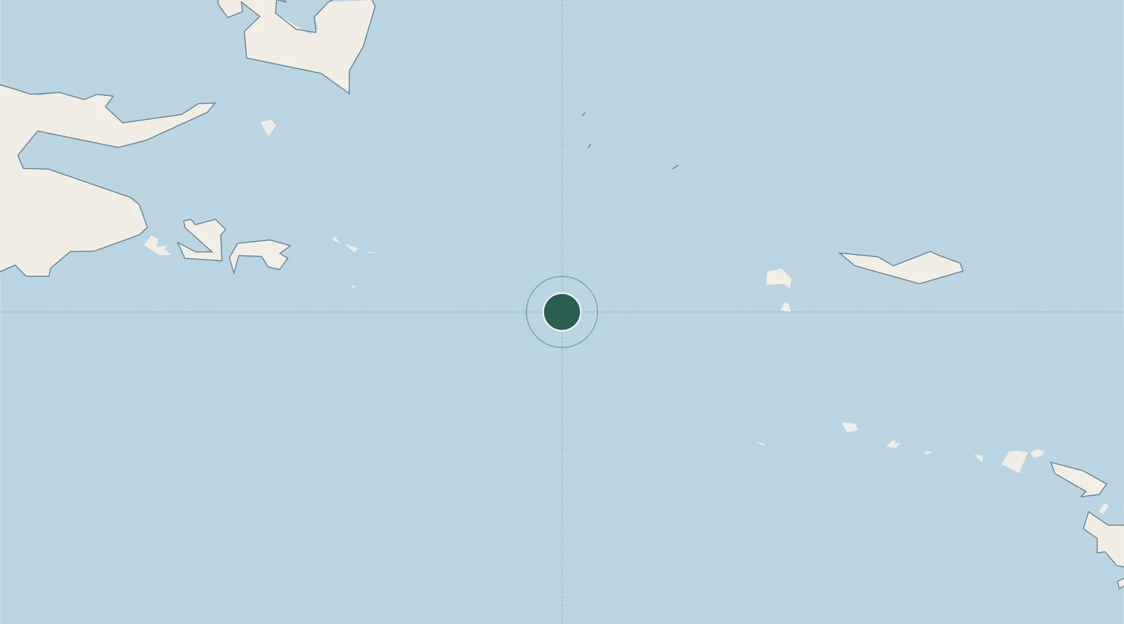
Location
Nearby Logistics Neighbours
Cities
- 1Deboyne Lagoon66 km
- 2Samarai129 km
- 3Alcester Island153 km
- 4Alotau156 km
- 5Gawa Island203 km
Ports
- 1Samarai125 km
- 2Alotoa156 km
- 3Oro Bay420 km
- 4Port Moresby531 km
- 5Bialla616 km
Airports
- 1Misima Island Airport114 km
- 2Gurney Airport169 km
- 3Losuia Airport265 km
- 4Tufi Airport331 km
- 5Girua Airport441 km
Trade Zones
DatabookThe Record of Consolidated Knowledge
Papua New Guinea beyond logistics?