UN/LOCODE hub · Papua New Guinea
PGSQT
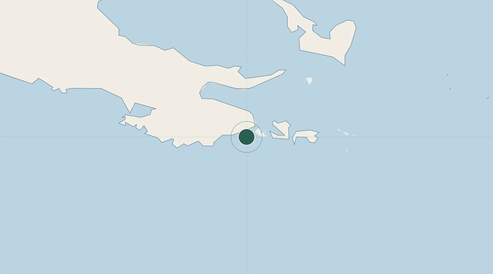
Samarai
-10.6333°, 150.6333°
1,638
Population
2
Transport functions
Transport Functions
Port
Airport
Hub Profile
Place type
Populated place
Region
Milne Bay Province
Population
1,638
Time zone
Pacific/Port_Moresby
Elevation
9 m
Location
Nearby Logistics Neighbours
Cities
- 1Alotau40 km
- 2Conflict Group129 km
- 3Deboyne Lagoon194 km
- 4Alcester Island232 km
- 5Gawa Island237 km
Ports
- 1Alotoa41 km
- 2Oro Bay306 km
- 3Port Moresby405 km
- 4Lae590 km
- 5Bialla594 km
Airports
- 1Gurney Airport49 km
- 2Tufi Airport225 km
- 3Misima Island Airport241 km
- 4Losuia Airport242 km
- 5Girua Airport326 km
Trade Zones
DatabookThe Record of Consolidated Knowledge
Papua New Guinea beyond logistics?