Transport Functions
Port
Hub Profile
Region
NSB
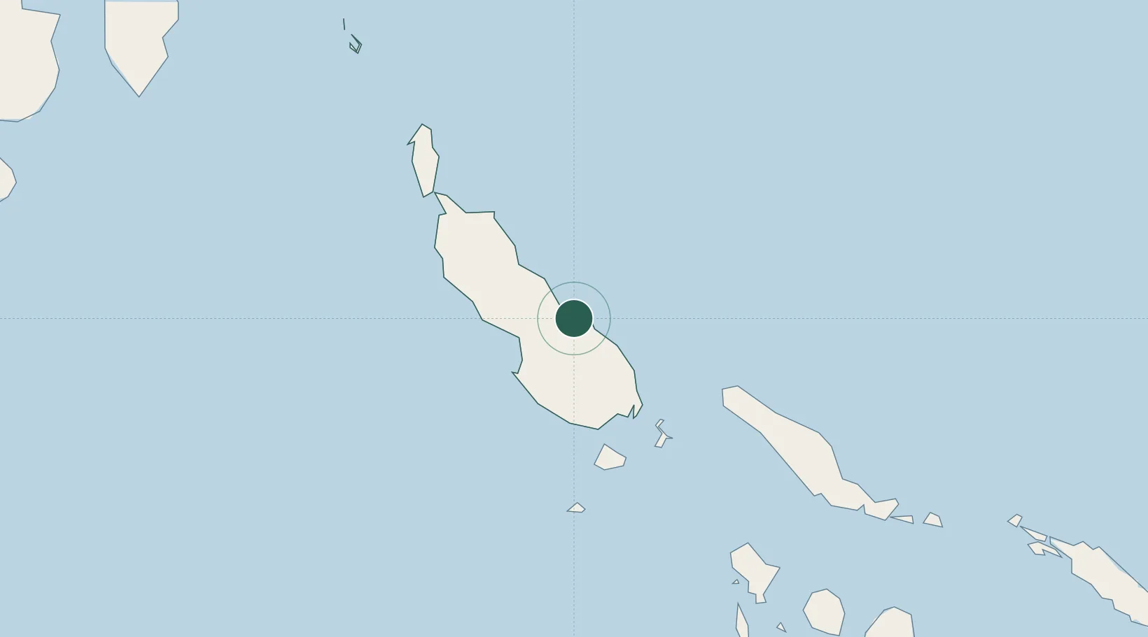
Location
Nearby Logistics Neighbours
Cities
- 1Shortland Harbour104 km
- 2Choiseul Bay112 km
- 3Gizo255 km
- 4Ringgi Cove, Kolombangara274 km
- 5Noro, New Georgia290 km
Ports
- 1Kieta9 km
- 2Gizo Harbor255 km
- 3Ringgi Cove273 km
- 4Port Noro288 km
- 5Rabaul434 km
Airports
- 1Aropa Airport23 km
- 2Ballalae Airport96 km
- 3Choiseul Bay Airport110 km
- 4Buka Airport130 km
- 5Mono Airport135 km
DatabookThe Record of Consolidated Knowledge
Papua New Guinea beyond logistics?