Transport Functions
Port
Hub Profile
Place type
Populated place
Region
Milne Bay Province
Time zone
Pacific/Port_Moresby
Elevation
20 m
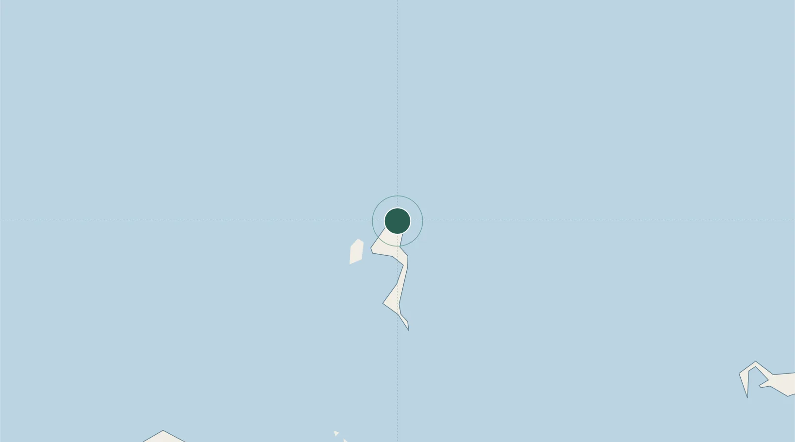
Location
Nearby Logistics Neighbours
Cities
- 1Gawa Island115 km
- 2Alcester Island196 km
- 3Alotau223 km
- 4Samarai252 km
- 5Amio259 km
Airports
- 1Losuia Airport10 km
- 2Tufi Airport209 km
- 3Gurney Airport227 km
- 4Gasmata Island Airport253 km
- 5Girua Airport310 km
DatabookThe Record of Consolidated Knowledge
Papua New Guinea beyond logistics?