Channel & Berth Profile
Pilotage, Tugs & Services
Pilotage compulsoryYES
Pilotage availableYES
Pilotage advisableYES
Local assistanceYES
Tug assistanceYES
Shore powerYES
Potable waterYES
Diesel bunkersYES
MedicalYES
Garbage disposalYES
Facilities & Capabilities
Container—
Ro-Ro—
Liquid bulk—
Dry bulk—
Oil terminal—
Break bulk—
Dry dock—
RepairsNO
BunkeringYES
Rail linkYES
Dangerous cargo—
ISPS security—
Harbour Specifications
Harbour size
Very Small
Harbour type
River (Natural)
Shelter
Excellent
Water body
Tasman Sea; South Pacific Ocean
Tidal range
2 m
Overhead limit
Yes
Pilotage
Yes
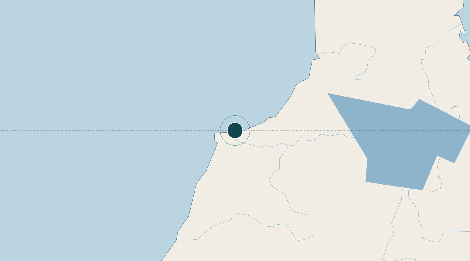
Location
Nearby Logistics Neighbours
Ports
- 1Greymouth82 km
- 2Tarakohe148 km
- 3Nelson149 km
- 4Picton208 km
- 5Port Lyttelton225 km
Cities
- 1Greymouth83 km
- 2Tarakohe148 km
- 3Nelson148 km
- 4Port Nelson149 km
- 5Kaikoura189 km
Airports
- 1Westport Airport2 km
- 2Hokitika Airfield119 km
- 3Nelson Airport144 km
- 4Woodbourne Airport190 km
- 5Picton Aerodrome201 km
Trade Zones
- 1Hicks Bay Area Special Economic Zone725 km
- 2Latrobe Valley Economic Growth Zone2175 km
- 3Rotuma-Kadavu Tax-Free Region2704 km
- 4Kalabu Tax Free Zone2711 km
- 5Nausori-Ba Tax-Free Region2719 km
DatabookThe Record of Consolidated Knowledge
New Zealand beyond logistics?