UN/LOCODE hub · New Zealand
NZGMN
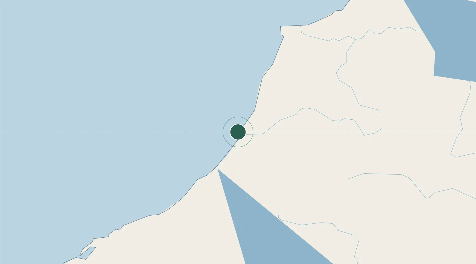
Greymouth
-42.4333°, 171.2000°
9,419
Population
3
Transport functions
Transport Functions
Port
Road
Airport
Hub Profile
Place type
Regional capital
Region
West Coast
Population
9,419
Time zone
Pacific/Auckland
Elevation
11 m
Location
Nearby Logistics Neighbours
Ports
- 1Westport83 km
- 2Port Lyttelton179 km
- 3Akaroa209 km
- 4Nelson215 km
- 5Timaru219 km
Airports
- 1Hokitika Airfield36 km
- 2Westport Airport84 km
- 3Christchurch International Airport160 km
- 4Mount Cook Airport172 km
- 5Glentanner Airport186 km
Trade Zones
- 1Hicks Bay Area Special Economic Zone798 km
- 2Latrobe Valley Economic Growth Zone2146 km
- 3Rotuma-Kadavu Tax-Free Region2786 km
- 4Kalabu Tax Free Zone2793 km
- 5Nausori-Ba Tax-Free Region2801 km
DatabookThe Record of Consolidated Knowledge
New Zealand beyond logistics?