Transport Functions
Port
Road
Airport
Hub Profile
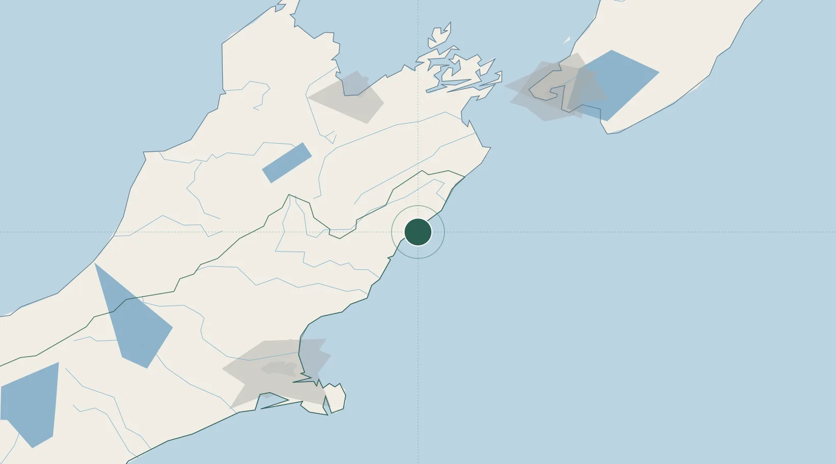
Place type
Populated place
Region
Canterbury
Population
685
Time zone
Pacific/Auckland
Elevation
38 m
Location
Nearby Logistics Neighbours
Cities
- 1Picton128 km
- 2Nelson132 km
- 3Port Nelson133 km
- 4Whekenui146 km
- 5Clifton148 km
Ports
- 1Picton129 km
- 2Nelson133 km
- 3Port Lyttelton154 km
- 4Wellington155 km
- 5Akaroa165 km
Airports
- 1Woodbourne Airport101 km
- 2Picton Aerodrome121 km
- 3Nelson Airport131 km
- 4Wellington International Airport152 km
- 5Christchurch International Airport153 km
Trade Zones
- 1Hicks Bay Area Special Economic Zone655 km
- 2Latrobe Valley Economic Growth Zone2351 km
- 3Rotuma-Kadavu Tax-Free Region2736 km
- 4Kalabu Tax Free Zone2743 km
- 5Nausori-Ba Tax-Free Region2750 km
DatabookThe Record of Consolidated Knowledge
New Zealand beyond logistics?