Medium airport · New Zealand
Nelson AirportNZNS
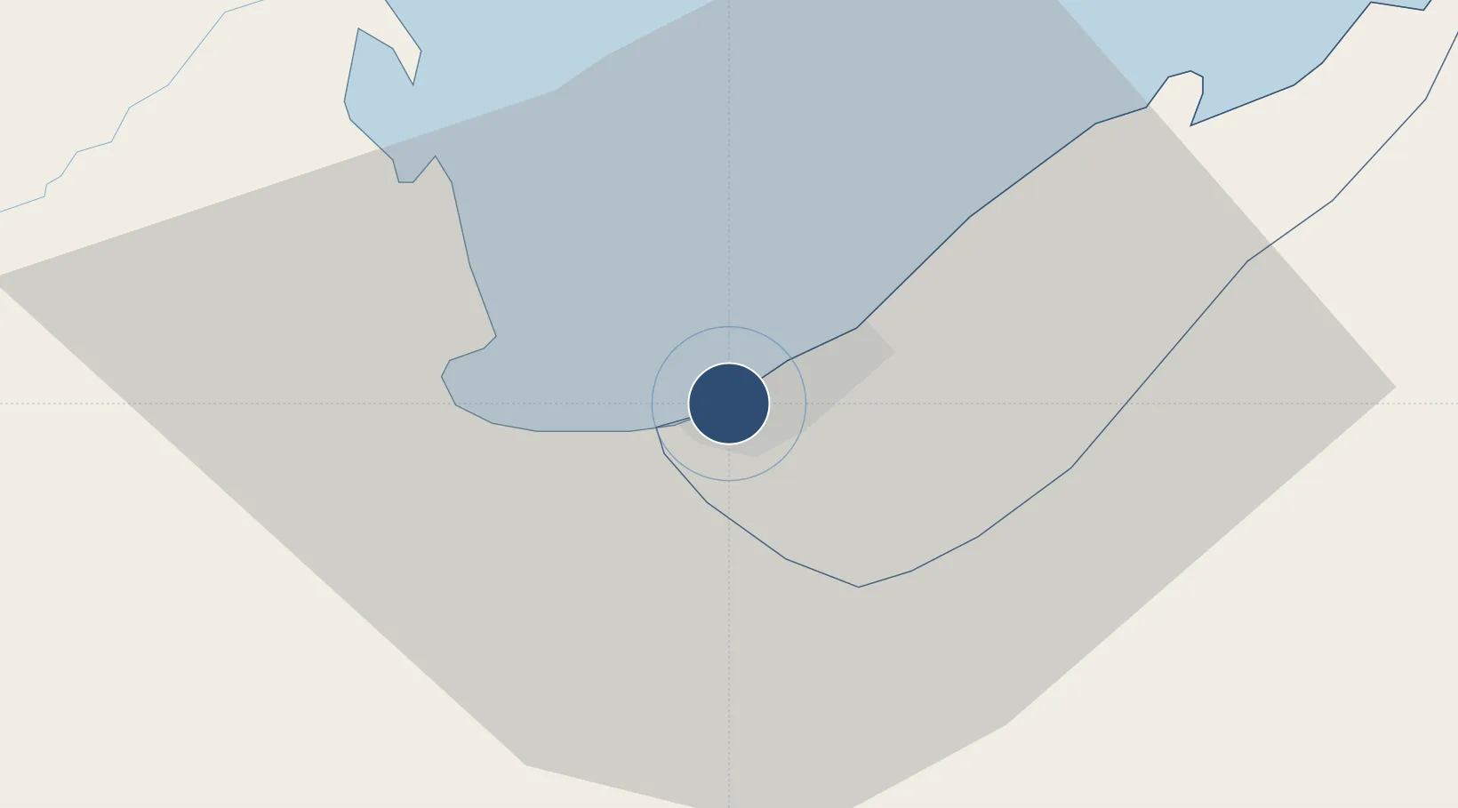
-41.2983°, 173.2210°
4,420 ft
Longest runway
4
Runways
17 ft
Elevation
Runway & Layout

Radio Frequencies
ATIS
129.1 MHz
TWR
127.4 MHz
CLD
123.3 MHz
CLNC DEL
APP
127.4 MHz
CTAF
127.4 MHz
AFIS
123.7 MHz
CHRISTCHRIST CON
Navaids
NS VOR-DME Nelson 116.40 MHz
Runways · 4
| Runway | Dimensions | Surface | True heading | Lit |
|---|---|---|---|---|
| 02/20 | 4,420 × 148ft | Asphalt | 042° | ✓ |
| 02L/20R | 2,398 × 197ft | Grass | 042° | — |
| 17/35 | 1,970 × 197ft | Grass | 187° | — |
| 06/24 | 1,726 × 79ft | Grass | 083° | — |
Airport Specifications
IATA code
NSN
ICAO code
NZNS
Airport class
Medium airport
Scheduled service
Yes
Runway surface
Asphalt
Served city
Nelson
Location
Nearby Logistics Neighbours
Airports
- 1Woodbourne Airport59 km
- 2Picton Aerodrome62 km
- 3Wellington International Airport133 km
- 4Westport Airport145 km
- 5Paraparaumu Airport155 km
Cities
- 1Nelson5 km
- 2Port Nelson5 km
- 3Tarakohe59 km
- 4Picton65 km
- 5Whekenui91 km
Ports
- 1Nelson5 km
- 2Tarakohe57 km
- 3Picton67 km
- 4Wellington131 km
- 5Westport144 km
Trade Zones
- 1Hicks Bay Area Special Economic Zone589 km
- 2Latrobe Valley Economic Growth Zone2309 km
- 3Rotuma-Kadavu Tax-Free Region2622 km
- 4Kalabu Tax Free Zone2629 km
- 5Nausori-Ba Tax-Free Region2637 km
DatabookThe Record of Consolidated Knowledge
New Zealand beyond logistics?