Small airport · New Zealand
Picton AerodromeNZPN
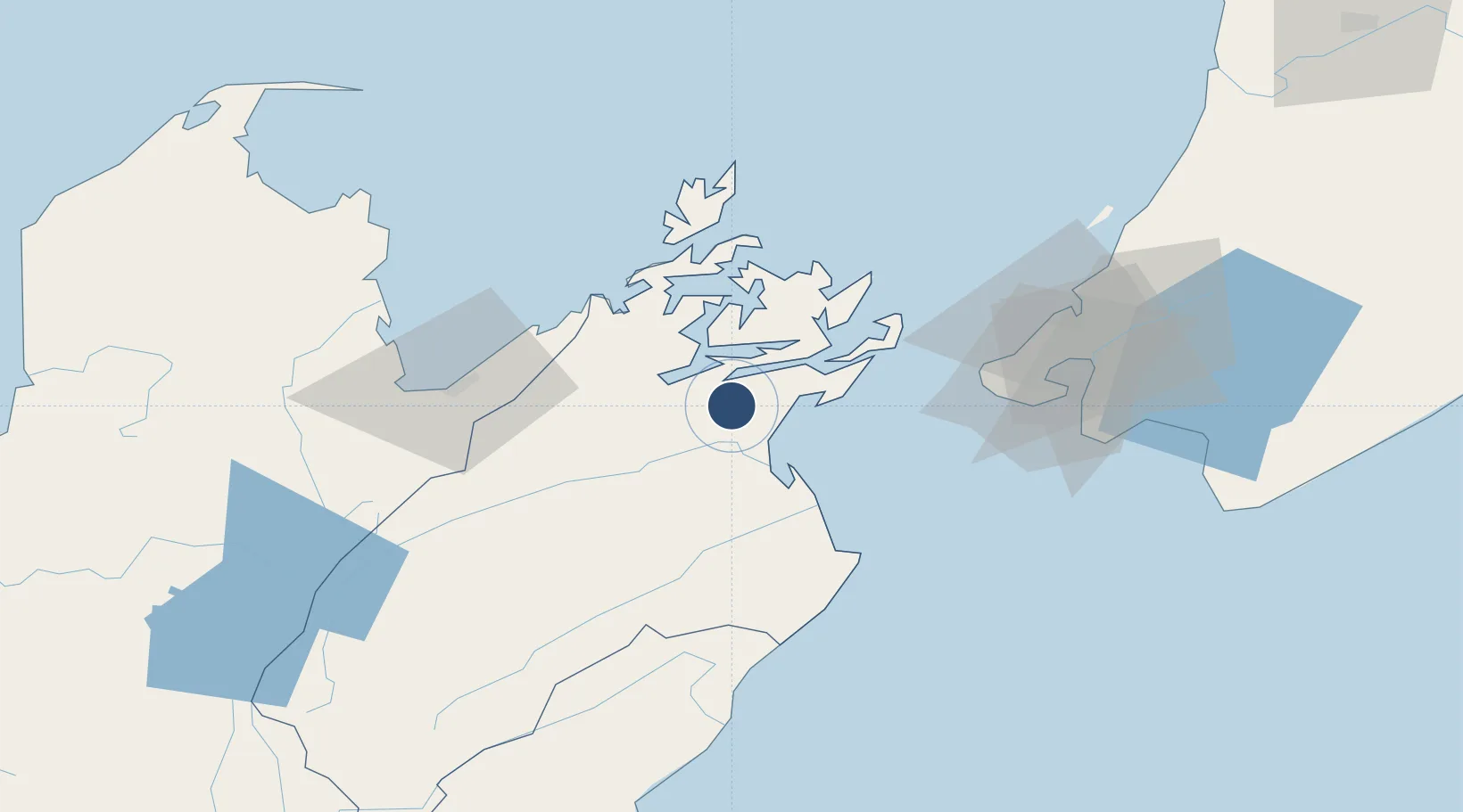
-41.3461°, 173.9560°
2,755 ft
Longest runway
1
Runways
161 ft
Elevation
Runway & Layout

Runways · 1
| Runway | Dimensions | Surface | True heading | Lit |
|---|---|---|---|---|
| 18/36 | 2,755 × —ft | — | — | — |
Airport Specifications
IATA code
PCN
ICAO code
NZPN
Airport class
Small airport
Scheduled service
Yes
Served city
Koromiko
Location
Nearby Logistics Neighbours
Airports
- 1Woodbourne Airport20 km
- 2Nelson Airport62 km
- 3Wellington International Airport71 km
- 4Paraparaumu Airport100 km
- 5Otaki Airport118 km
Cities
- 1Picton8 km
- 2Whekenui34 km
- 3Port Nelson58 km
- 4Nelson58 km
- 5Pipitea68 km
Ports
- 1Picton9 km
- 2Nelson58 km
- 3Wellington69 km
- 4Tarakohe104 km
- 5Wanganui180 km
Trade Zones
- 1Hicks Bay Area Special Economic Zone550 km
- 2Latrobe Valley Economic Growth Zone2370 km
- 3Rotuma-Kadavu Tax-Free Region2615 km
- 4Kalabu Tax Free Zone2622 km
- 5Nausori-Ba Tax-Free Region2629 km
DatabookThe Record of Consolidated Knowledge
New Zealand beyond logistics?