Channel & Berth Profile
Pilotage, Tugs & Services
Pilotage compulsoryNO
Pilotage availableYES
Pilotage advisableYES
Local assistanceYES
Tug assistanceNO
Salvage tugsNO
Shore powerYES
Potable waterYES
Diesel bunkersYES
MedicalYES
Garbage disposalYES
Facilities & Capabilities
Container—
Ro-Ro—
Liquid bulk—
Dry bulk—
Oil terminal—
Break bulk—
Dry dock—
RepairsNO
Bunkering—
Rail linkYES
Dangerous cargo—
ISPS security—
Harbour Specifications
Harbour size
Very Small
Harbour type
River (Natural)
Shelter
Good
Water body
Tasman Sea; South Pacific Ocean
Tidal range
3 m
Pilotage
No
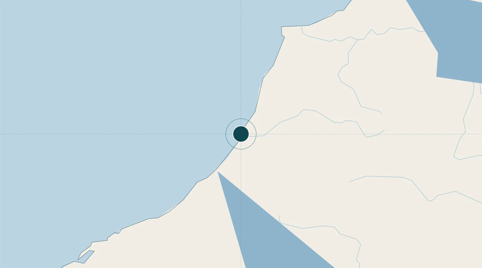
Location
Nearby Logistics Neighbours
Ports
- 1Westport82 km
- 2Port Lyttelton178 km
- 3Akaroa208 km
- 4Nelson214 km
- 5Timaru219 km
Airports
- 1Hokitika Airfield37 km
- 2Westport Airport83 km
- 3Christchurch International Airport159 km
- 4Mount Cook Airport172 km
- 5Glentanner Airport186 km
Trade Zones
- 1Hicks Bay Area Special Economic Zone797 km
- 2Latrobe Valley Economic Growth Zone2147 km
- 3Rotuma-Kadavu Tax-Free Region2786 km
- 4Kalabu Tax Free Zone2793 km
- 5Nausori-Ba Tax-Free Region2801 km
DatabookThe Record of Consolidated Knowledge
New Zealand beyond logistics?