Medium airport · New Zealand
Westport AirportNZWS
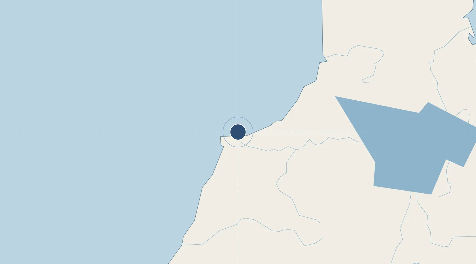
-41.7371°, 171.5790°
4,200 ft
Longest runway
1
Runways
13 ft
Elevation
Runway & Layout

Radio Frequencies
CTAF
119.1 MHz
AFIS
118.7 MHz
CHRISTCHURCH FIS
Navaids
WS NDB-DME Westport 0.28 MHz
Runways · 1
| Runway | Dimensions | Surface | True heading | Lit |
|---|---|---|---|---|
| 04/22 | 4,200 × 98ft | Asphalt | 058° | ✓ |
Airport Specifications
IATA code
WSZ
ICAO code
NZWS
Airport class
Medium airport
Scheduled service
Yes
Runway surface
Asphalt
Served city
Westport
Location
Nearby Logistics Neighbours
Airports
- 1Hokitika Airfield119 km
- 2Nelson Airport145 km
- 3Woodbourne Airport192 km
- 4Picton Aerodrome203 km
- 5Christchurch International Airport210 km
Cities
- 1Westport1 km
- 2Greymouth84 km
- 3Tarakohe148 km
- 4Nelson149 km
- 5Port Nelson150 km
Trade Zones
- 1Hicks Bay Area Special Economic Zone725 km
- 2Latrobe Valley Economic Growth Zone2173 km
- 3Rotuma-Kadavu Tax-Free Region2703 km
- 4Kalabu Tax Free Zone2710 km
- 5Nausori-Ba Tax-Free Region2718 km
DatabookThe Record of Consolidated Knowledge
New Zealand beyond logistics?