Medium airport · New Zealand
Hokitika AirfieldNZHK
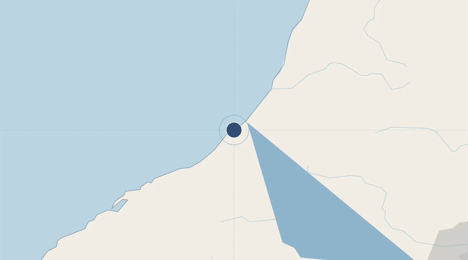
-42.7136°, 170.9850°
4,311 ft
Longest runway
2
Runways
146 ft
Elevation
Runway & Layout

Radio Frequencies
CTAF
119.1 MHz
AFIS
118.5 MHz
CHRISTCHURCH FIS
Navaids
HK NDB-DME Hokitika 0.31 MHz
Runways · 2
| Runway | Dimensions | Surface | True heading | Lit |
|---|---|---|---|---|
| 03/21 | 4,311 × 98ft | Asphalt | 058° | ✓ |
| 12/30 | 3,858 × 59ft | Asphalt | 147° | — |
Airport Specifications
IATA code
HKK
ICAO code
NZHK
Airport class
Medium airport
Scheduled service
Yes
Runway surface
Asphalt
Location
Nearby Logistics Neighbours
Airports
- 1Westport Airport119 km
- 2Mount Cook Airport136 km
- 3Glentanner Airport150 km
- 4Christchurch International Airport152 km
- 5Timaru Airport178 km
Ports
- 1Greymouth37 km
- 2Westport119 km
- 3Port Lyttelton172 km
- 4Timaru189 km
- 5Akaroa201 km
Trade Zones
- 1Hicks Bay Area Special Economic Zone832 km
- 2Latrobe Valley Economic Growth Zone2131 km
- 3Rotuma-Kadavu Tax-Free Region2821 km
- 4Kalabu Tax Free Zone2828 km
- 5Nausori-Ba Tax-Free Region2836 km
DatabookThe Record of Consolidated Knowledge
New Zealand beyond logistics?