Transport Functions
Port
Road
Airport
Hub Profile
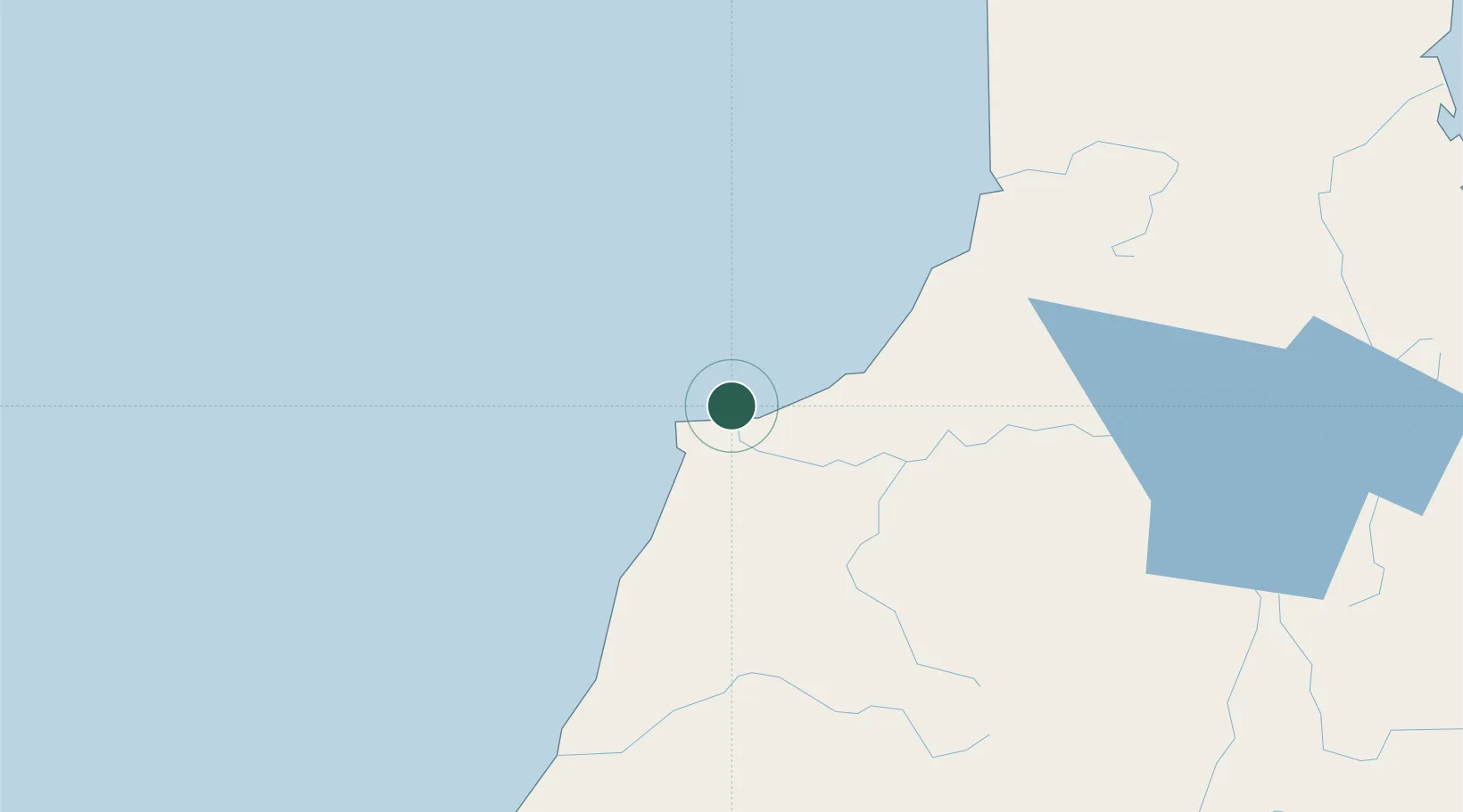
Place type
Populated place
Region
West Coast
Population
4,600
Time zone
Pacific/Auckland
Elevation
3 m
Location
Nearby Logistics Neighbours
Cities
- 1Greymouth84 km
- 2Tarakohe148 km
- 3Nelson149 km
- 4Port Nelson150 km
- 5Kaikoura191 km
Ports
- 1Greymouth84 km
- 2Tarakohe148 km
- 3Nelson150 km
- 4Picton209 km
- 5Port Lyttelton227 km
Airports
- 1Westport Airport1 km
- 2Hokitika Airfield120 km
- 3Nelson Airport145 km
- 4Woodbourne Airport192 km
- 5Picton Aerodrome202 km
Trade Zones
- 1Hicks Bay Area Special Economic Zone725 km
- 2Latrobe Valley Economic Growth Zone2173 km
- 3Rotuma-Kadavu Tax-Free Region2702 km
- 4Kalabu Tax Free Zone2709 km
- 5Nausori-Ba Tax-Free Region2717 km
DatabookThe Record of Consolidated Knowledge
New Zealand beyond logistics?