Seaport · New Zealand
Port LytteltonNZLYT
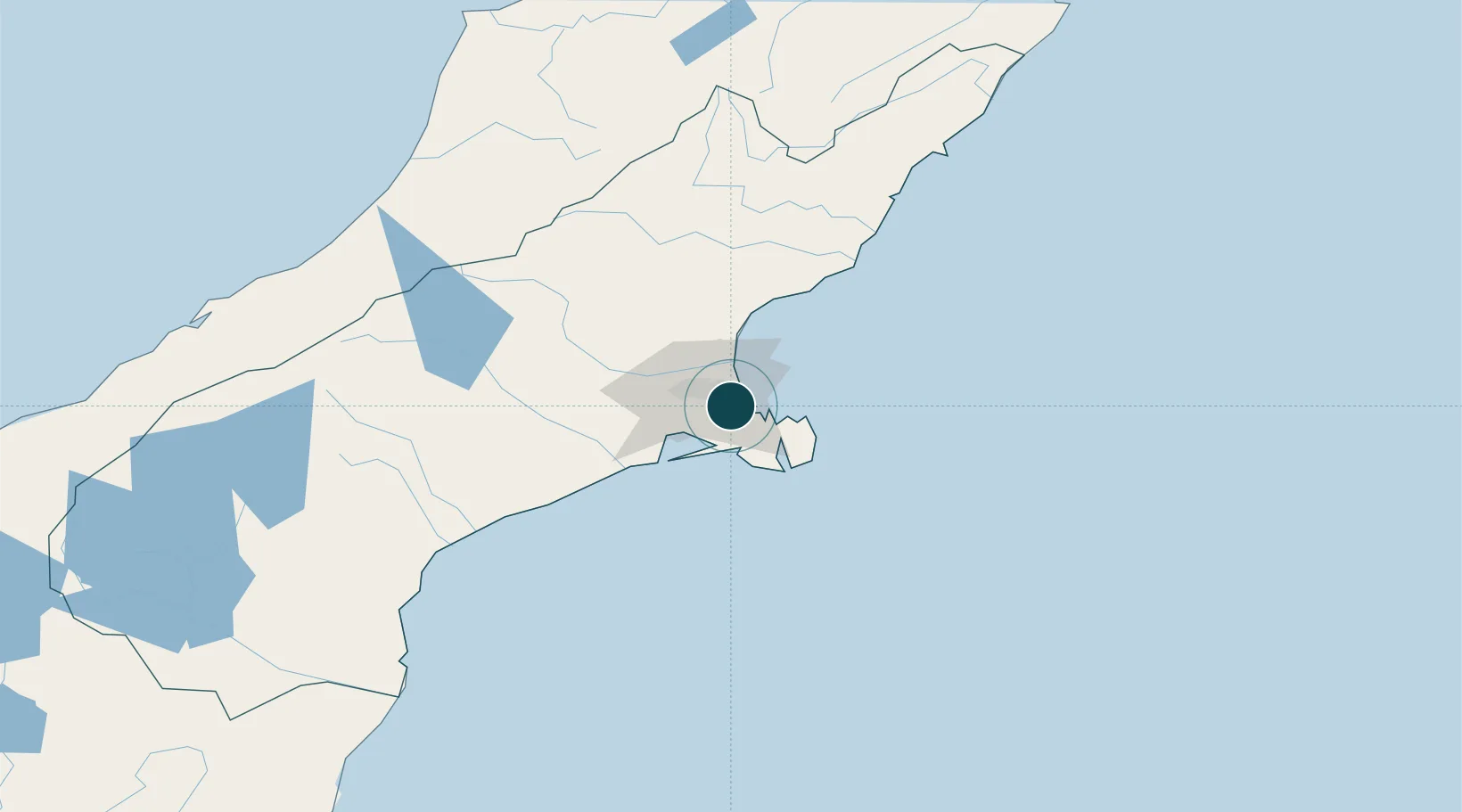
-43.6000°, 172.7167°
11.0 m
Channel depth
1
Container terminals
87.1
Port liner connectivity
Channel & Berth Profile
Pilotage, Tugs & Services
Pilotage compulsoryYES
Pilotage availableYES
Pilotage advisableYES
Tug assistanceYES
Salvage tugsYES
Shore powerYES
Potable waterYES
MedicalYES
Garbage disposalYES
Facilities & Capabilities
Container—
Ro-Ro—
Liquid bulk—
Dry bulk—
Oil terminal—
Break bulk—
Dry dockNO
RepairsNO
BunkeringYES
Rail linkYES
Dangerous cargo—
ISPS security—
Harbour Specifications
Harbour size
Very Small
Harbour type
Coastal (Breakwater)
Shelter
Excellent
Water body
South Pacific Ocean
Tidal range
2 m
Overhead limit
Yes
Pilotage
Yes
Liner Connectivity
87.1
PLSCI
Port Liner Shipping Connectivity Index for Port Lyttelton, as published by UNCTAD for the latest available quarter. Higher values indicate stronger scheduled liner-shipping integration.
Shown relative to the highest per-port PLSCI in the dataset (1,657.9).
Location
Container Terminals · 1
LYTTELTON PORT COMPANY
LPC LYTTELTON PORT COMPANY LIMITED
Nearby Logistics Neighbours
Airports
- 1Christchurch International Airport19 km
- 2Timaru Airport143 km
- 3Hokitika Airfield172 km
- 4Oamaru Airport200 km
- 5Mount Cook Airport209 km
Trade Zones
- 1Hicks Bay Area Special Economic Zone809 km
- 2Latrobe Valley Economic Growth Zone2281 km
- 3Rotuma-Kadavu Tax-Free Region2881 km
- 4Kalabu Tax Free Zone2888 km
- 5Nausori-Ba Tax-Free Region2895 km
DatabookThe Record of Consolidated Knowledge
New Zealand beyond logistics?