Transport Functions
Port
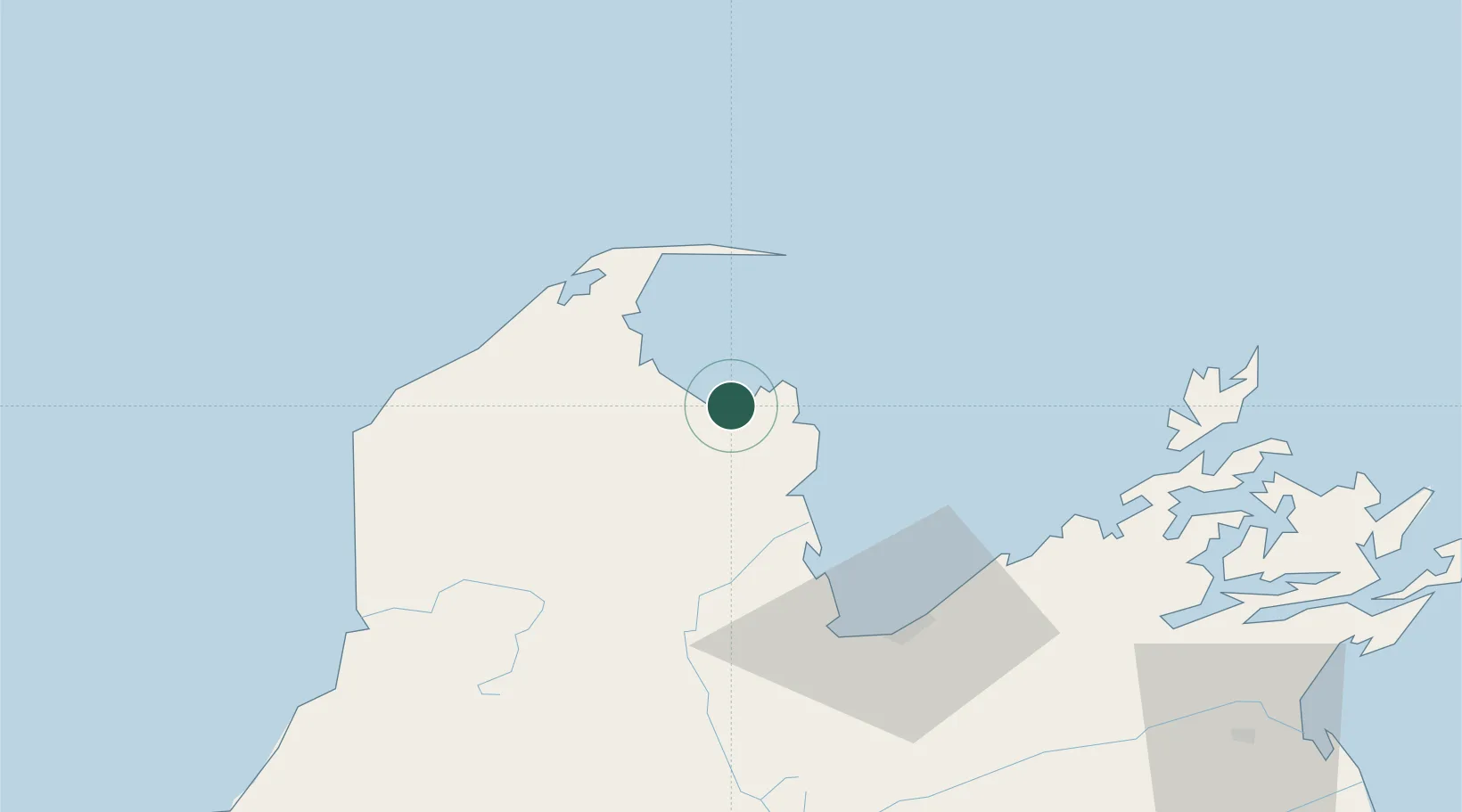
Hub Profile
Place type
Populated place
Region
Tasman District
Time zone
Pacific/Auckland
Location
Nearby Logistics Neighbours
Cities
- 1Port Nelson58 km
- 2Nelson58 km
- 3Picton106 km
- 4Whekenui125 km
- 5Westport148 km
Ports
- 1Nelson58 km
- 2Picton107 km
- 3Westport148 km
- 4Wellington167 km
- 5Wanganui207 km
Airports
- 1Nelson Airport59 km
- 2Picton Aerodrome107 km
- 3Woodbourne Airport112 km
- 4Westport Airport148 km
- 5Wellington International Airport170 km
Trade Zones
- 1Hicks Bay Area Special Economic Zone578 km
- 2Latrobe Valley Economic Growth Zone2282 km
- 3Rotuma-Kadavu Tax-Free Region2578 km
- 4Kalabu Tax Free Zone2585 km
- 5Nausori-Ba Tax-Free Region2593 km
DatabookThe Record of Consolidated Knowledge
New Zealand beyond logistics?