UN/LOCODE hub · New Zealand
NZPON

Port Nelson

-41.2667°, 173.2667°
2
Transport functions

Transport Functions

Port
Multimodal
UN/LOCODE

Hub Profile

Place type
Populated place
GeoNames
Region
Nelson Region
GeoNames
Time zone
Pacific/Auckland
GeoNames
Elevation
8 m
GeoNames

Location

Location of NZPON
Natural Earth 10m (public domain) · Nelson Region · NZPON · -41.27, 173.27GoogleOSMYandex

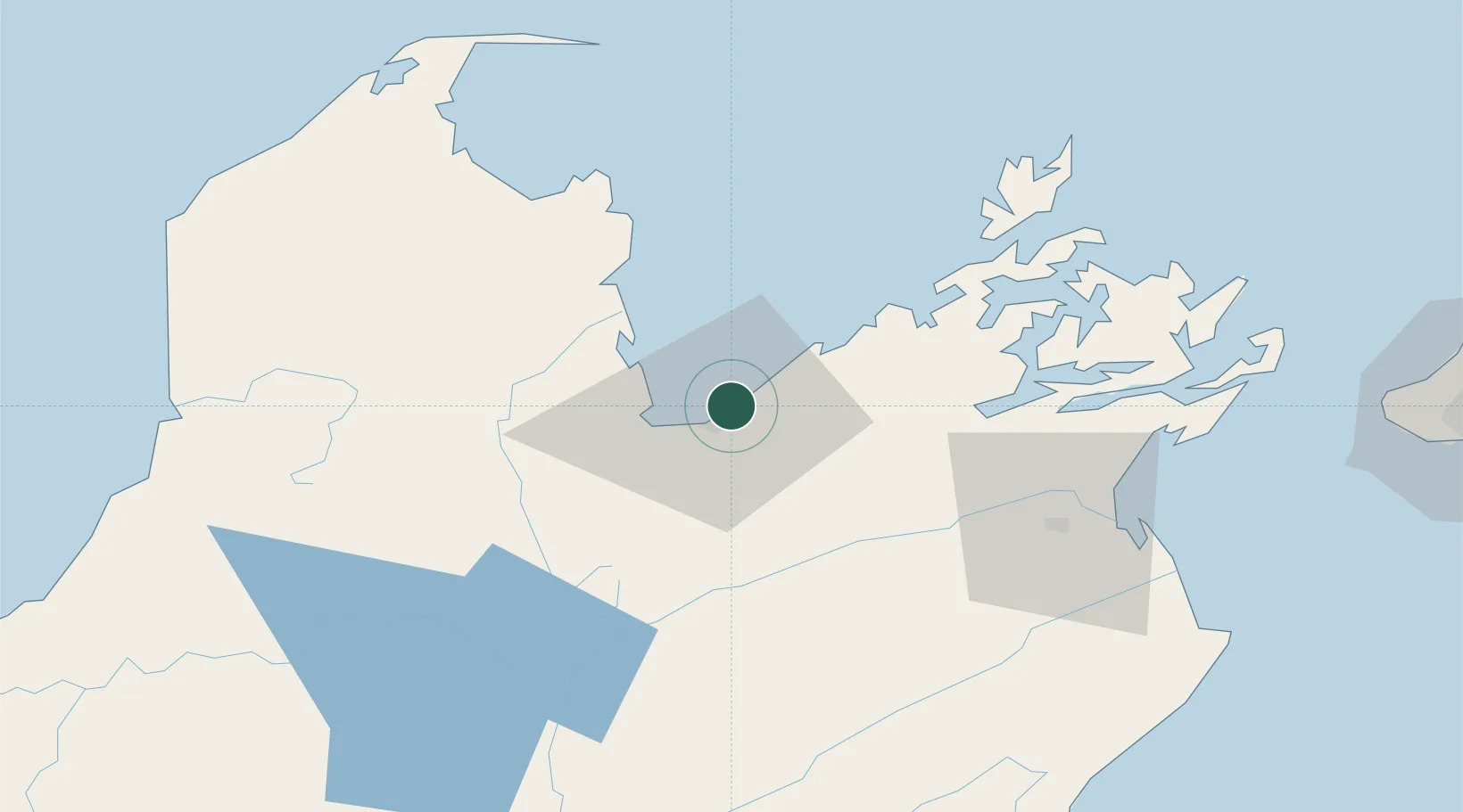
Nearby Logistics Neighbours

Cities
  1. 1Nelson1 km
  2. 2Tarakohe58 km
  3. 3Picton61 km
  4. 4Whekenui87 km
  5. 5Pipitea125 km
Nearest neighbours — logibook spatial index (haversine) over the source coordinates
Ports
  1. 1Nelson0 km
  2. 2Tarakohe56 km
  3. 3Picton63 km
  4. 4Wellington127 km
  5. 5Westport149 km
Nearest neighbours — logibook spatial index (haversine) over the source coordinates
Airports
  1. 1Nelson Airport5 km
  2. 2Woodbourne Airport58 km
  3. 3Picton Aerodrome58 km
  4. 4Wellington International Airport129 km
  5. 5Paraparaumu Airport150 km
Nearest neighbours — logibook spatial index (haversine) over the source coordinates
Trade Zones
  1. 1Hicks Bay Area Special Economic Zone584 km
  2. 2Latrobe Valley Economic Growth Zone2313 km
  3. 3Rotuma-Kadavu Tax-Free Region2618 km
  4. 4Kalabu Tax Free Zone2625 km
  5. 5Nausori-Ba Tax-Free Region2632 km
Nearest neighbours — logibook spatial index (haversine) over the source coordinates
DatabookThe Record of Consolidated Knowledge
New Zealand beyond logistics?
Browse databook

All Sources

LocationsUN/LOCODE
UN/LOCODE — free
Portsthe NGA World Port Index
Public domain (US gov)
AirportsOurAirports
Public domain
Trade Zonesthe World Bank SEZ database
CC BY 4.0
Trade ZonesOpen Zone Map
CC BY
← New Zealand locations