UN/LOCODE hub · New Zealand
NZNSN
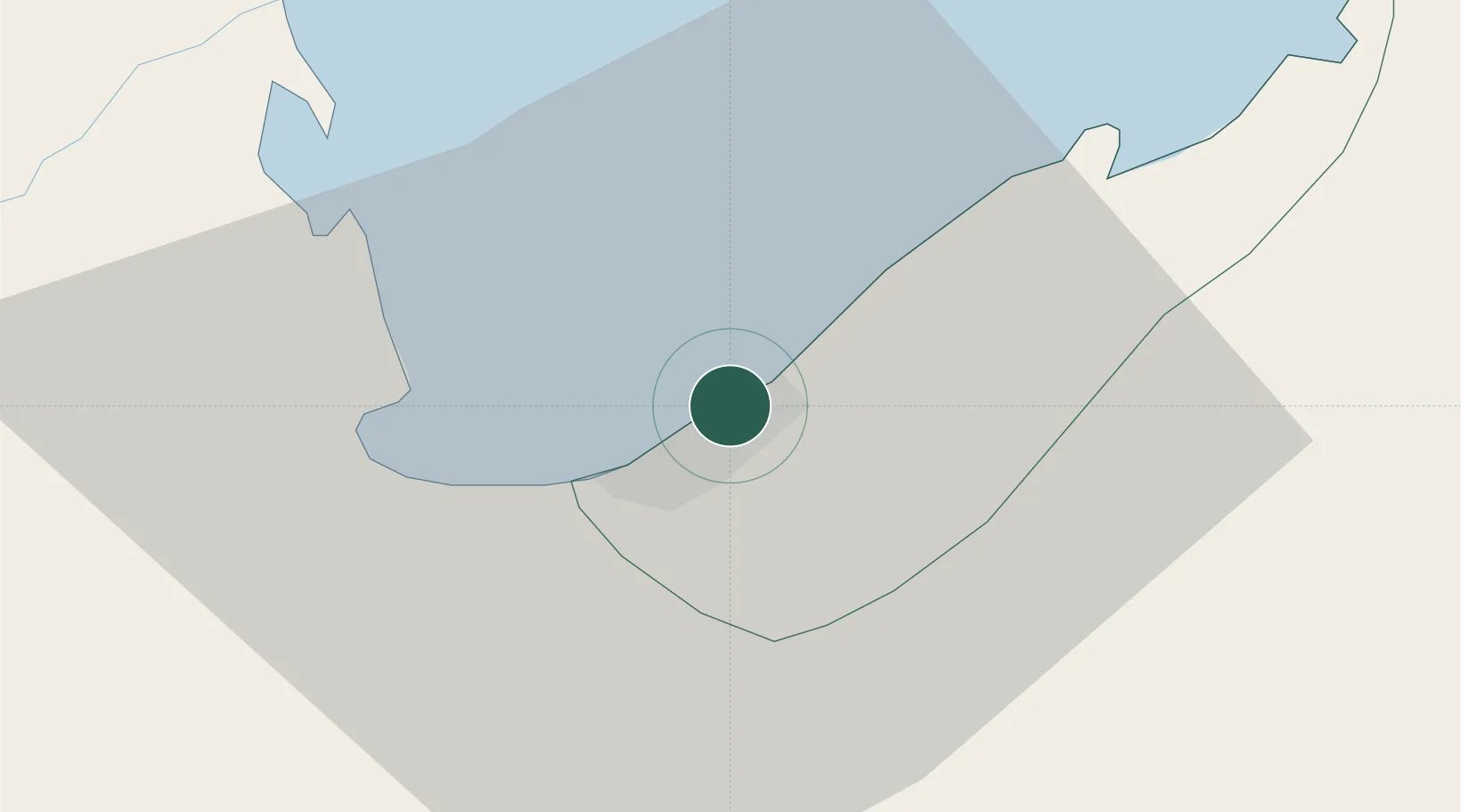
Nelson
-41.2730°, 173.2633°
54,400
Population
3
Transport functions
1
Container terminals
Transport Functions
Port
Road
Airport
Hub Profile
Place type
Regional capital
Region
Nelson Region
Population
54,400
Time zone
Pacific/Auckland
Elevation
11 m
Logistics facilities
9
Container terminals
1
Location
Nearby Logistics Neighbours
Cities
- 1Port Nelson1 km
- 2Tarakohe58 km
- 3Picton62 km
- 4Whekenui87 km
- 5Pipitea126 km
Ports
- 1Tarakohe56 km
- 2Picton63 km
- 3Wellington127 km
- 4Westport148 km
- 5Wanganui210 km
Airports
- 1Nelson Airport5 km
- 2Woodbourne Airport58 km
- 3Picton Aerodrome58 km
- 4Wellington International Airport129 km
- 5Westport Airport149 km
Trade Zones
- 1Hicks Bay Area Special Economic Zone585 km
- 2Latrobe Valley Economic Growth Zone2313 km
- 3Rotuma-Kadavu Tax-Free Region2619 km
- 4Kalabu Tax Free Zone2625 km
- 5Nausori-Ba Tax-Free Region2633 km
DatabookThe Record of Consolidated Knowledge
New Zealand beyond logistics?