Medium airport · New Zealand
Woodbourne AirportNZWB
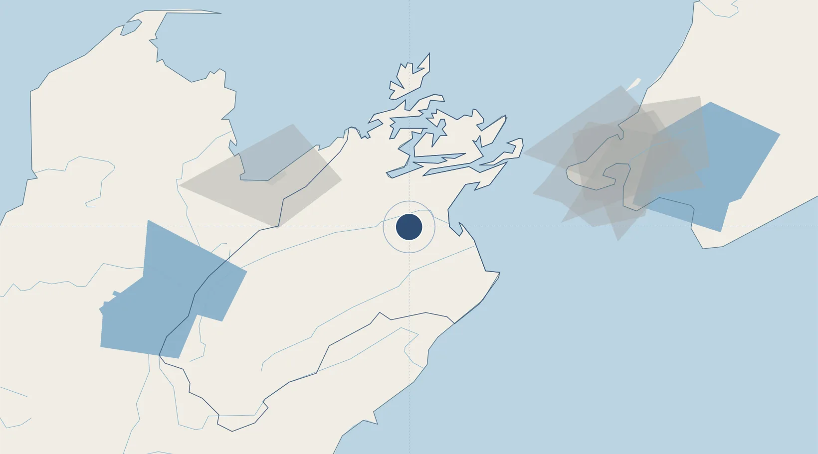
-41.5183°, 173.8700°
4,675 ft
Longest runway
3
Runways
109 ft
Elevation
Runway & Layout

Radio Frequencies
ATIS
126.05 MHz
TWR
122.8 MHz
APP
122.3 MHz
WELLINGTON APP
CTAF
122.8 MHz
ACC
129.4 MHz
CHRISTCHURCH CON
Navaids
BM NDB-DME Blenheim 0.34 MHz
WB VOR-DME Woodbourne 115.60 MHz
WB NDB Woodbourne 366 kHz
Runways · 3
| Runway | Dimensions | Surface | True heading | Lit |
|---|---|---|---|---|
| 06L/24R | 4,675 × 197ft | Graded earth | 088° | — |
| 06R/24L | 4,675 × 148ft | Asphalt | 086° | ✓ |
| 10/28 | 3,878 × 295ft | Graded earth | 126° | — |
Airport Specifications
IATA code
BHE
ICAO code
NZWB
Airport class
Medium airport
Scheduled service
Yes
Runway surface
Graded earth
Served city
Blenheim
Location
Nearby Logistics Neighbours
Airports
- 1Picton Aerodrome20 km
- 2Nelson Airport59 km
- 3Wellington International Airport81 km
- 4Paraparaumu Airport116 km
- 5Otaki Airport135 km
Cities
- 1Picton28 km
- 2Whekenui52 km
- 3Nelson58 km
- 4Port Nelson58 km
- 5Pipitea80 km
Ports
- 1Picton29 km
- 2Nelson58 km
- 3Wellington81 km
- 4Tarakohe110 km
- 5Westport190 km
Trade Zones
- 1Hicks Bay Area Special Economic Zone569 km
- 2Latrobe Valley Economic Growth Zone2363 km
- 3Rotuma-Kadavu Tax-Free Region2635 km
- 4Kalabu Tax Free Zone2642 km
- 5Nausori-Ba Tax-Free Region2649 km
DatabookThe Record of Consolidated Knowledge
New Zealand beyond logistics?