Transport Functions
Rail
Road
Hub Profile
Place type
Populated place
Region
Wellington Region
Time zone
Pacific/Auckland
Elevation
50 m
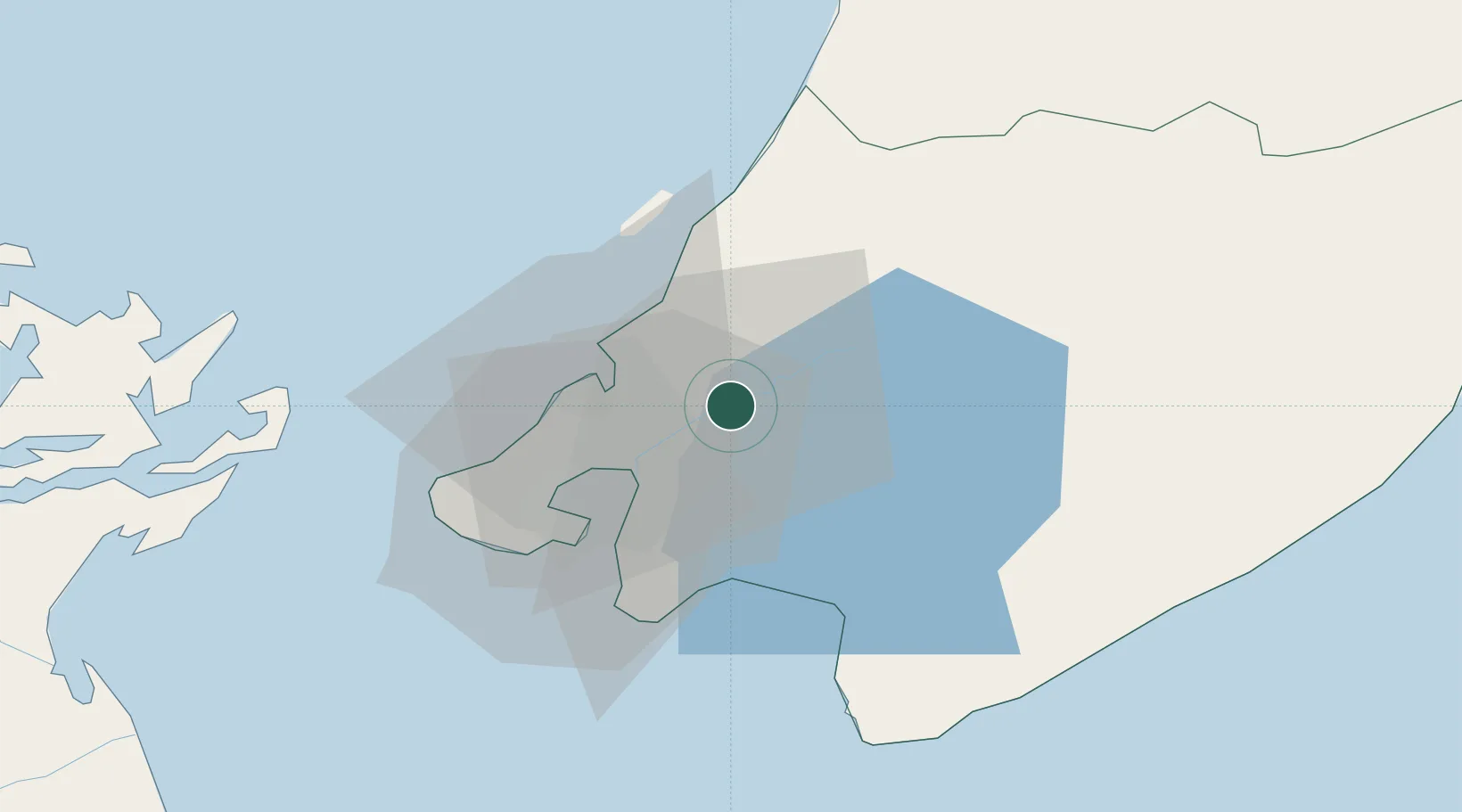
Location
Nearby Logistics Neighbours
Cities
- 1Paekakariki20 km
- 2Wellington24 km
- 3Shelly Bay25 km
- 4Pipitea27 km
- 5Burnham Wharf27 km
Ports
- 1Wellington27 km
- 2Picton87 km
- 3Wanganui132 km
- 4Nelson149 km
- 5Tarakohe182 km
Airports
- 1Paraparaumu Airport26 km
- 2Wellington International Airport29 km
- 3Otaki Airport40 km
- 4Hood Airport53 km
- 5Picton Aerodrome93 km
Trade Zones
- 1Hicks Bay Area Special Economic Zone475 km
- 2Latrobe Valley Economic Growth Zone2461 km
- 3Rotuma-Kadavu Tax-Free Region2577 km
- 4Kalabu Tax Free Zone2583 km
- 5Nausori-Ba Tax-Free Region2591 km
DatabookThe Record of Consolidated Knowledge
New Zealand beyond logistics?