Transport Functions
Rail
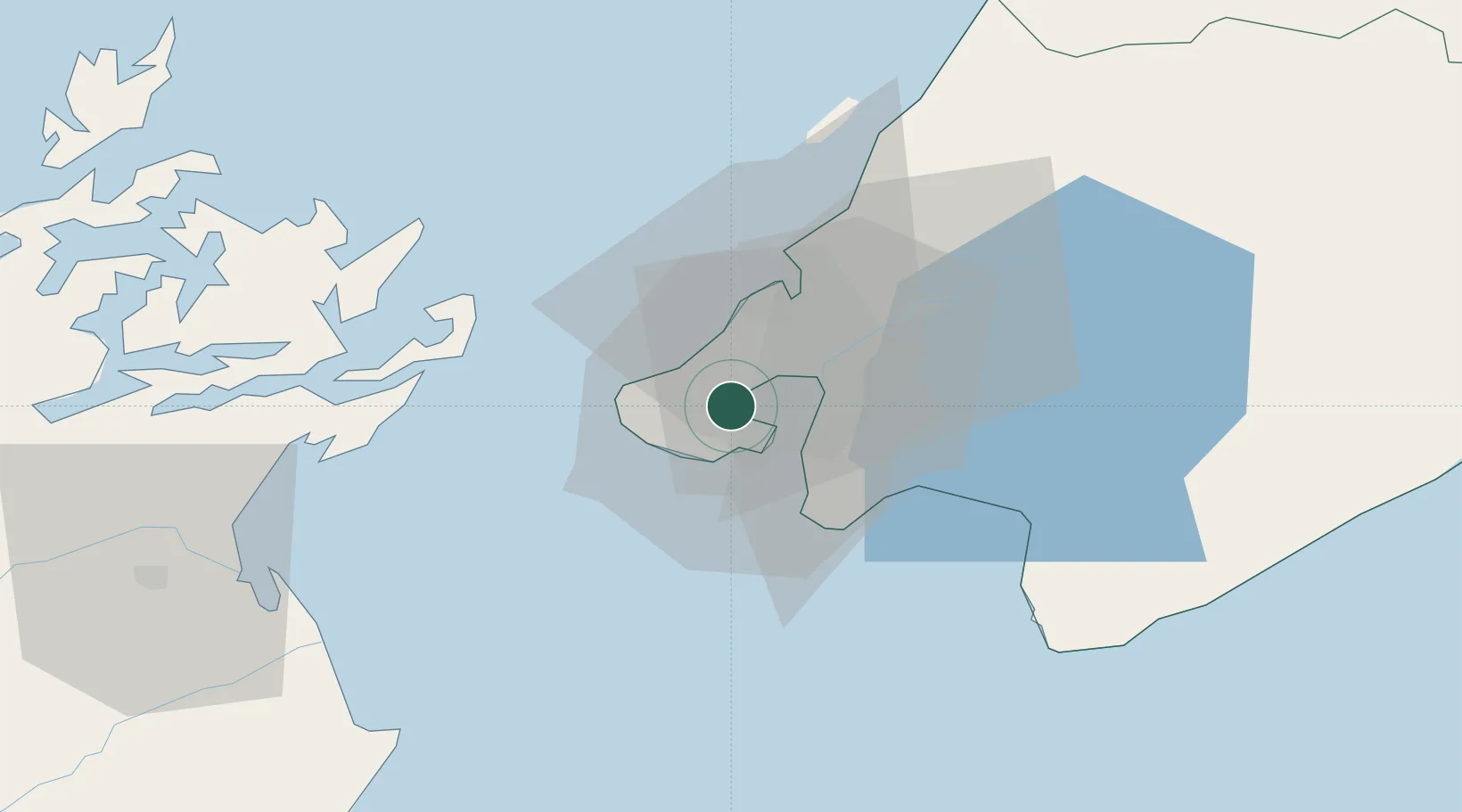
Hub Profile
Place type
Urban district
Region
Wellington Region
Time zone
Pacific/Auckland
Elevation
17 m
Location
Nearby Logistics Neighbours
Cities
- 1Wellington4 km
- 2Shelly Bay5 km
- 3Burnham Wharf5 km
- 4Trentham27 km
- 5Paekakariki37 km
Ports
- 1Wellington2 km
- 2Picton63 km
- 3Nelson125 km
- 4Wanganui148 km
- 5Tarakohe163 km
Airports
- 1Wellington International Airport8 km
- 2Paraparaumu Airport44 km
- 3Otaki Airport63 km
- 4Picton Aerodrome68 km
- 5Hood Airport80 km
Trade Zones
- 1Hicks Bay Area Special Economic Zone500 km
- 2Latrobe Valley Economic Growth Zone2438 km
- 3Rotuma-Kadavu Tax-Free Region2595 km
- 4Kalabu Tax Free Zone2601 km
- 5Nausori-Ba Tax-Free Region2609 km
DatabookThe Record of Consolidated Knowledge
New Zealand beyond logistics?