UN/LOCODE hub · New Zealand
NZBUW

Burnham Wharf

-41.3000°, 174.8000°
1
Transport functions

Transport Functions

Port
UN/LOCODE

Hub Profile

Region
WGN
GeoNames

Location

Location of NZBUW
Natural Earth 10m (public domain) · WGN · NZBUW · -41.30, 174.80GoogleOSMYandex

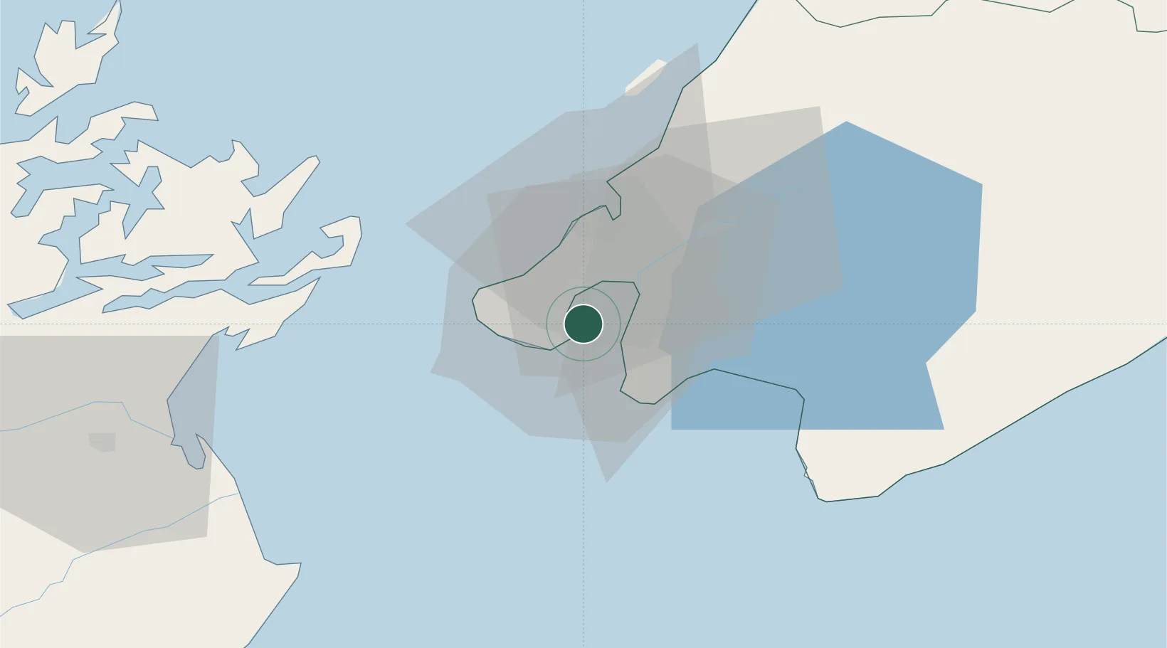
Nearby Logistics Neighbours

Cities
  1. 1Shelly Bay2 km
  2. 2Wellington4 km
  3. 3Pipitea5 km
  4. 4Trentham27 km
  5. 5Paekakariki39 km
Nearest neighbours — logibook spatial index (haversine) over the source coordinates
Ports
  1. 1Wellington2 km
  2. 2Picton66 km
  3. 3Nelson128 km
  4. 4Wanganui151 km
  5. 5Tarakohe167 km
Nearest neighbours — logibook spatial index (haversine) over the source coordinates
Airports
  1. 1Wellington International Airport3 km
  2. 2Paraparaumu Airport47 km
  3. 3Otaki Airport64 km
  4. 4Picton Aerodrome71 km
  5. 5Hood Airport79 km
Nearest neighbours — logibook spatial index (haversine) over the source coordinates
Trade Zones
  1. 1Hicks Bay Area Special Economic Zone501 km
  2. 2Latrobe Valley Economic Growth Zone2441 km
  3. 3Rotuma-Kadavu Tax-Free Region2598 km
  4. 4Kalabu Tax Free Zone2605 km
  5. 5Nausori-Ba Tax-Free Region2612 km
Nearest neighbours — logibook spatial index (haversine) over the source coordinates
DatabookThe Record of Consolidated Knowledge
New Zealand beyond logistics?
Browse databook

All Sources

LocationsUN/LOCODE
UN/LOCODE — free
Portsthe NGA World Port Index
Public domain (US gov)
AirportsOurAirports
Public domain
Trade Zonesthe World Bank SEZ database
CC BY 4.0
Trade ZonesOpen Zone Map
CC BY
← New Zealand locations