Large airport · New Zealand
Wellington International AirportNZWN
-41.3268°, 174.8069°
6,352 ft
Longest runway
1
Runways
41 ft
Elevation
Runway & Layout

Radio Frequencies
ATIS
126.9 MHz
TWR
118.8 MHz
GND
121.9 MHz
APP
122.3 MHz
Navaids
NL NDB Newlands 358 kHz
TY NDB Titahi Bay 234 kHz
WN VOR-DME Wellington 112.30 MHz
WN NDB Wellington 298 kHz
Runways · 1
| Runway | Dimensions | Surface | True heading | Lit |
|---|---|---|---|---|
| 16/34 | 6,352 × 148ft | Asphalt | 183° | ✓ |
Airport Specifications
IATA code
WLG
ICAO code
NZWN
Airport class
Large airport
Scheduled service
Yes
Runway surface
Asphalt
Served city
Wellington
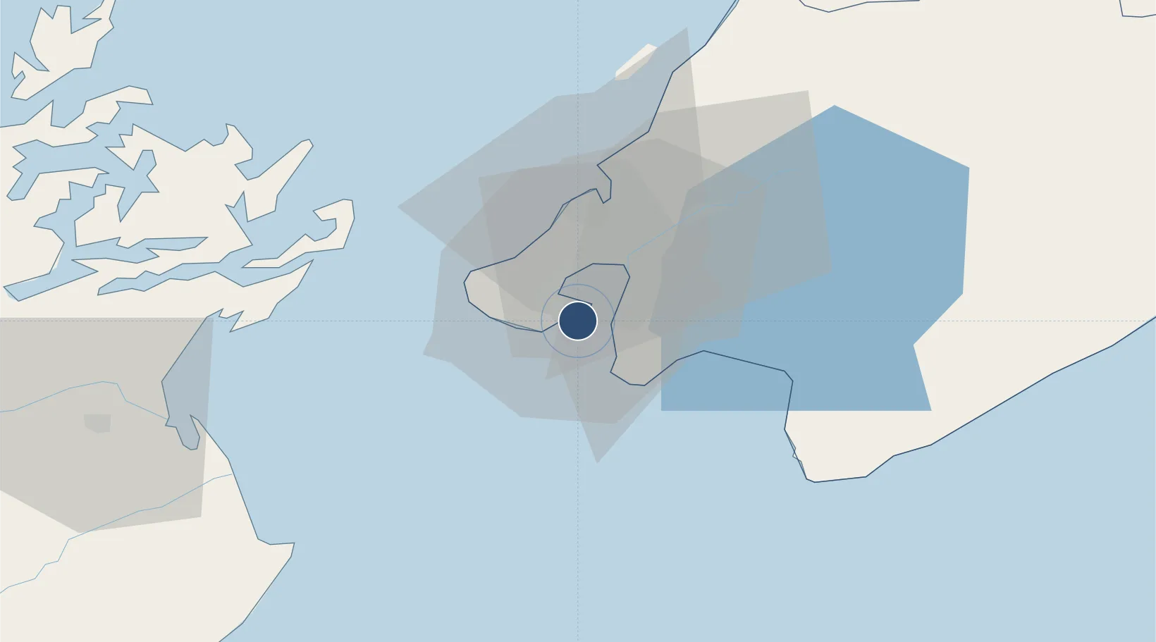
Location
Nearby Logistics Neighbours
Airports
- 1Paraparaumu Airport49 km
- 2Otaki Airport67 km
- 3Picton Aerodrome71 km
- 4Hood Airport80 km
- 5Woodbourne Airport81 km
Cities
- 1Burnham Wharf3 km
- 2Shelly Bay5 km
- 3Wellington7 km
- 4Pipitea8 km
- 5Trentham29 km
Ports
- 1Wellington5 km
- 2Picton66 km
- 3Nelson129 km
- 4Wanganui154 km
- 5Tarakohe168 km
Trade Zones
- 1Hicks Bay Area Special Economic Zone503 km
- 2Latrobe Valley Economic Growth Zone2441 km
- 3Rotuma-Kadavu Tax-Free Region2601 km
- 4Kalabu Tax Free Zone2607 km
- 5Nausori-Ba Tax-Free Region2615 km
DatabookThe Record of Consolidated Knowledge
New Zealand beyond logistics?