UN/LOCODE hub · New Zealand
NZPKI
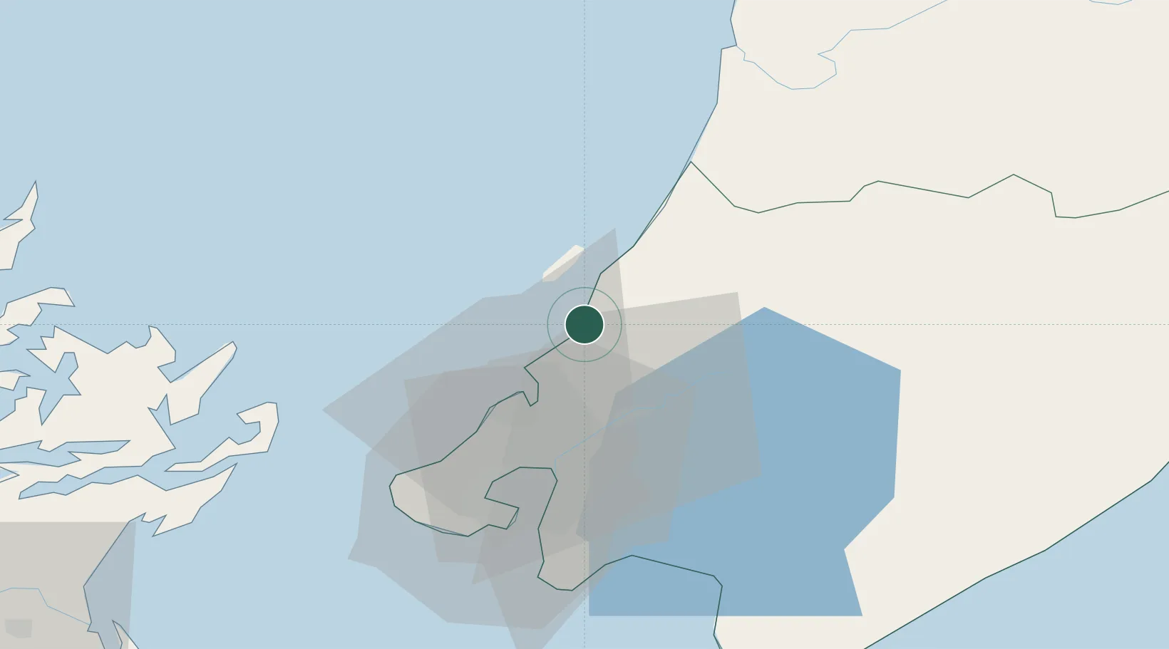
Paekakariki
-40.9667°, 174.9500°
1,730
Population
2
Transport functions
Transport Functions
Rail
Road
Hub Profile
Place type
Populated place
Region
Wellington Region
Population
1,730
Time zone
Pacific/Auckland
Elevation
12 m
Location
Nearby Logistics Neighbours
Cities
- 1Trentham20 km
- 2Wellington35 km
- 3Pipitea37 km
- 4Shelly Bay37 km
- 5Burnham Wharf39 km
Ports
- 1Wellington38 km
- 2Picton86 km
- 3Wanganui113 km
- 4Nelson145 km
- 5Tarakohe173 km
Airports
- 1Paraparaumu Airport8 km
- 2Otaki Airport26 km
- 3Wellington International Airport42 km
- 4Hood Airport58 km
- 5Palmerston North Airport91 km
Trade Zones
- 1Hicks Bay Area Special Economic Zone464 km
- 2Latrobe Valley Economic Growth Zone2455 km
- 3Rotuma-Kadavu Tax-Free Region2560 km
- 4Kalabu Tax Free Zone2566 km
- 5Nausori-Ba Tax-Free Region2574 km
DatabookThe Record of Consolidated Knowledge
New Zealand beyond logistics?