UN/LOCODE hub · New Zealand
NZSHB

Shelly Bay

-41.2833°, 174.8167°
2
Transport functions

Transport Functions

Port
Road
UN/LOCODE

Hub Profile

Region
WGN
GeoNames

Location

Location of NZSHB
Natural Earth 10m (public domain) · WGN · NZSHB · -41.28, 174.82GoogleOSMYandex

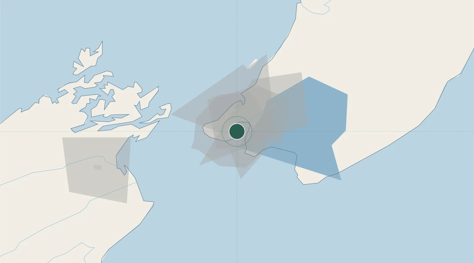
Nearby Logistics Neighbours

Cities
  1. 1Wellington2 km
  2. 2Burnham Wharf2 km
  3. 3Pipitea5 km
  4. 4Trentham25 km
  5. 5Paekakariki37 km
Nearest neighbours — logibook spatial index (haversine) over the source coordinates
Ports
  1. 1Wellington3 km
  2. 2Picton67 km
  3. 3Nelson130 km
  4. 4Wanganui149 km
  5. 5Tarakohe168 km
Nearest neighbours — logibook spatial index (haversine) over the source coordinates
Airports
  1. 1Wellington International Airport5 km
  2. 2Paraparaumu Airport45 km
  3. 3Otaki Airport62 km
  4. 4Picton Aerodrome72 km
  5. 5Hood Airport77 km
Nearest neighbours — logibook spatial index (haversine) over the source coordinates
Trade Zones
  1. 1Hicks Bay Area Special Economic Zone499 km
  2. 2Latrobe Valley Economic Growth Zone2442 km
  3. 3Rotuma-Kadavu Tax-Free Region2596 km
  4. 4Kalabu Tax Free Zone2603 km
  5. 5Nausori-Ba Tax-Free Region2610 km
Nearest neighbours — logibook spatial index (haversine) over the source coordinates
DatabookThe Record of Consolidated Knowledge
New Zealand beyond logistics?
Browse databook

All Sources

LocationsUN/LOCODE
UN/LOCODE — free
Portsthe NGA World Port Index
Public domain (US gov)
AirportsOurAirports
Public domain
Trade Zonesthe World Bank SEZ database
CC BY 4.0
Trade ZonesOpen Zone Map
CC BY
← New Zealand locations