Medium airport · New Zealand
Hood AirportNZMS
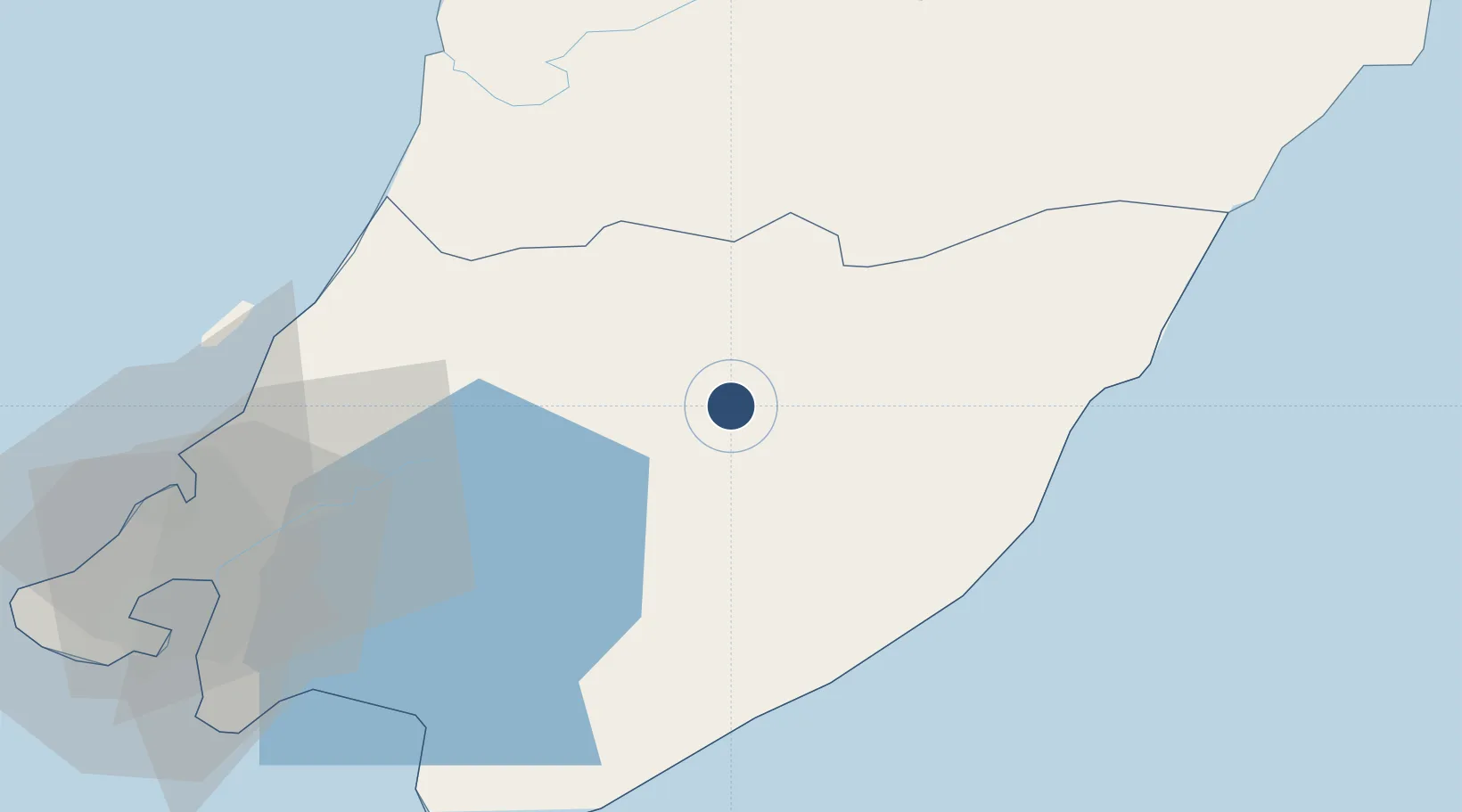
-40.9746°, 175.6345°
4,101 ft
Longest runway
5
Runways
364 ft
Elevation
Runway & Layout

Radio Frequencies
CTAF
119.1 MHz
AFIS
126.7 MHz
OHAKEA CON
AWIB
132.8 MHz
Runways · 5
| Runway | Dimensions | Surface | True heading | Lit |
|---|---|---|---|---|
| 06C/24C | 4,101 × 75ft | Asphalt | 078° | ✓ |
| 06R/24L | 3,478 × 98ft | Grass | 074° | — |
| 10/28 | 3,419 × 98ft | Grass | 122° | — |
| 06L/24R | 1,476 × 66ft | Grass | 087° | — |
| 06/24 | — | Unknown | — | — |
Airport Specifications
IATA code
MRO
ICAO code
NZMS
Airport class
Medium airport
Scheduled service
No
Runway surface
Asphalt
Served city
Masterton
Location
Nearby Logistics Neighbours
Airports
- 1Otaki Airport46 km
- 2Paraparaumu Airport55 km
- 3Palmerston North Airport73 km
- 4Wellington International Airport80 km
- 5RNZAF Base Ohakea88 km
Cities
- 1Shannon52 km
- 2Trentham53 km
- 3Paekakariki58 km
- 4Longburn66 km
- 5Wellington76 km
Ports
- 1Wellington79 km
- 2Wanganui125 km
- 3Picton140 km
- 4Napier198 km
- 5Nelson201 km
Trade Zones
- 1Hicks Bay Area Special Economic Zone433 km
- 2Latrobe Valley Economic Growth Zone2512 km
- 3Rotuma-Kadavu Tax-Free Region2553 km
- 4Kalabu Tax Free Zone2559 km
- 5Nausori-Ba Tax-Free Region2567 km
DatabookThe Record of Consolidated Knowledge
New Zealand beyond logistics?