UN/LOCODE hub · New Zealand
NZWLG
Wellington
-41.2660°, 174.8082°
381,900
Population
4
Transport functions
1
Container terminals
Transport Functions
Port
Rail
Road
Airport
Hub Profile
Place type
National capital
Region
Wellington Region
Population
381,900
Time zone
Pacific/Auckland
Elevation
31 m
Logistics facilities
11
Container terminals
1
Location
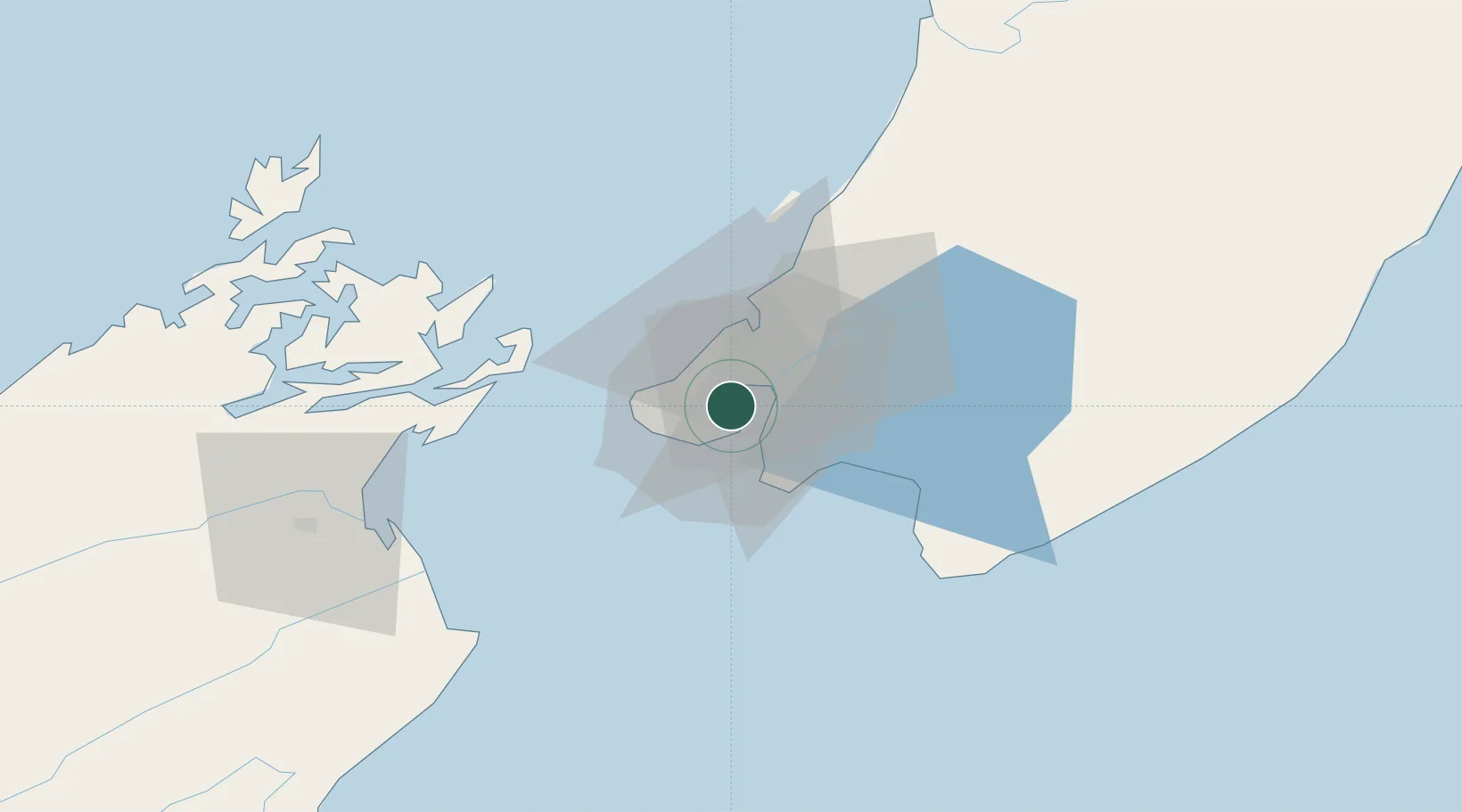
Nearby Logistics Neighbours
Cities
- 1Shelly Bay2 km
- 2Pipitea4 km
- 3Burnham Wharf4 km
- 4Trentham24 km
- 5Paekakariki35 km
Ports
- 1Picton66 km
- 2Nelson129 km
- 3Wanganui148 km
- 4Tarakohe167 km
- 5New Plymouth253 km
Airports
- 1Wellington International Airport7 km
- 2Paraparaumu Airport43 km
- 3Otaki Airport61 km
- 4Picton Aerodrome72 km
- 5Hood Airport76 km
Trade Zones
- 1Hicks Bay Area Special Economic Zone498 km
- 2Latrobe Valley Economic Growth Zone2442 km
- 3Rotuma-Kadavu Tax-Free Region2594 km
- 4Kalabu Tax Free Zone2601 km
- 5Nausori-Ba Tax-Free Region2608 km
DatabookThe Record of Consolidated Knowledge
New Zealand beyond logistics?