UN/LOCODE hub · New Zealand
NZTAU
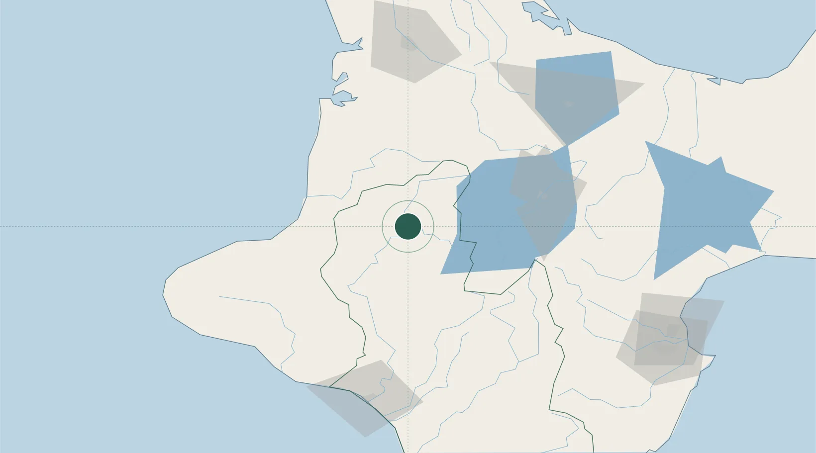
Taumarunui
-38.8833°, 175.2500°
4,950
Population
2
Transport functions
Transport Functions
Rail
Road
Hub Profile
Place type
Populated place
Region
Manawatu-Wanganui
Population
4,950
Time zone
Pacific/Auckland
Elevation
203 m
Logistics facilities
2
Location
Nearby Logistics Neighbours
Cities
- 1Waiouru74 km
- 2Taharoa93 km
- 3Stratford97 km
- 4New Plymouth102 km
- 5Wanganui119 km
Ports
- 1New Plymouth107 km
- 2Wanganui120 km
- 3Napier158 km
- 4Tauranga160 km
- 5Manukau Harbor221 km
Airports
- 1Taupo Airport74 km
- 2New Plymouth Airport94 km
- 3Hamilton International Airport113 km
- 4Wanganui Airport122 km
- 5Rotorua Regional Airport127 km
Trade Zones
- 1Hicks Bay Area Special Economic Zone290 km
- 2Rotuma-Kadavu Tax-Free Region2327 km
- 3Kalabu Tax Free Zone2333 km
- 4Nausori-Ba Tax-Free Region2341 km
- 5Lautoka Special Zone2374 km
DatabookThe Record of Consolidated Knowledge
New Zealand beyond logistics?