Transport Functions
Port
Road
Airport
Hub Profile
Region
WKO
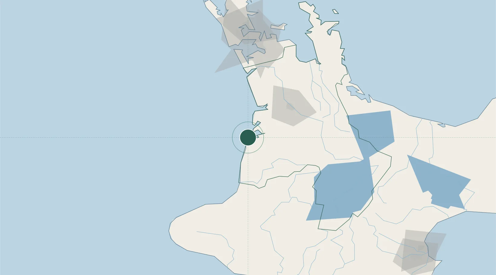
Location
Nearby Logistics Neighbours
Cities
- 1Hamilton62 km
- 2Morrinsville90 km
- 3Taumarunui93 km
- 4New Plymouth115 km
- 5Drury118 km
Ports
- 1New Plymouth119 km
- 2Manukau Harbor135 km
- 3Tauranga138 km
- 4Auckland145 km
- 5Wanganui202 km
Airports
- 1Hamilton International Airport61 km
- 2New Plymouth Airport107 km
- 3Ardmore Airport126 km
- 4Auckland International Airport127 km
- 5Taupo Airport135 km
Trade Zones
- 1Hicks Bay Area Special Economic Zone305 km
- 2Rotuma-Kadavu Tax-Free Region2253 km
- 3Kalabu Tax Free Zone2260 km
- 4Nausori-Ba Tax-Free Region2268 km
- 5Lautoka Special Zone2298 km
DatabookThe Record of Consolidated Knowledge
New Zealand beyond logistics?