UN/LOCODE hub · New Zealand
NZNPL
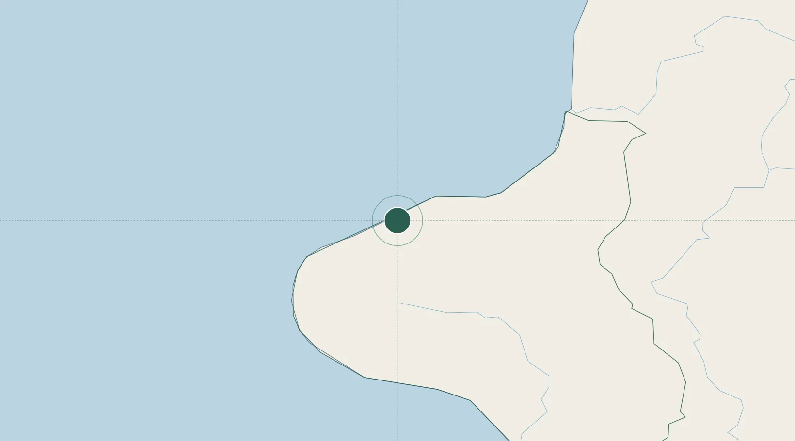
New Plymouth
-39.0501°, 174.0908°
90,300
Population
3
Transport functions
1
Container terminals
Transport Functions
Port
Road
Airport
Hub Profile
Place type
Regional capital
Region
Taranaki Region
Population
90,300
Time zone
Pacific/Auckland
Elevation
64 m
Logistics facilities
8
Container terminals
1
Location
Nearby Logistics Neighbours
Cities
- 1Stratford36 km
- 2Taumarunui102 km
- 3Taharoa115 km
- 4Wanganui125 km
- 5Waiouru143 km
Ports
- 1Wanganui129 km
- 2Tarakohe224 km
- 3Tauranga240 km
- 4Manukau Harbor243 km
- 5Napier248 km
Airports
- 1New Plymouth Airport9 km
- 2Wanganui Airport129 km
- 3RNZAF Base Ohakea170 km
- 4Hamilton International Airport170 km
- 5Taupo Airport176 km
Trade Zones
- 1Hicks Bay Area Special Economic Zone388 km
- 2Rotuma-Kadavu Tax-Free Region2362 km
- 3Kalabu Tax Free Zone2369 km
- 4Nausori-Ba Tax-Free Region2377 km
- 5Latrobe Valley Economic Growth Zone2398 km
DatabookThe Record of Consolidated Knowledge
New Zealand beyond logistics?