Medium airport · New Zealand
New Plymouth AirportNZNP
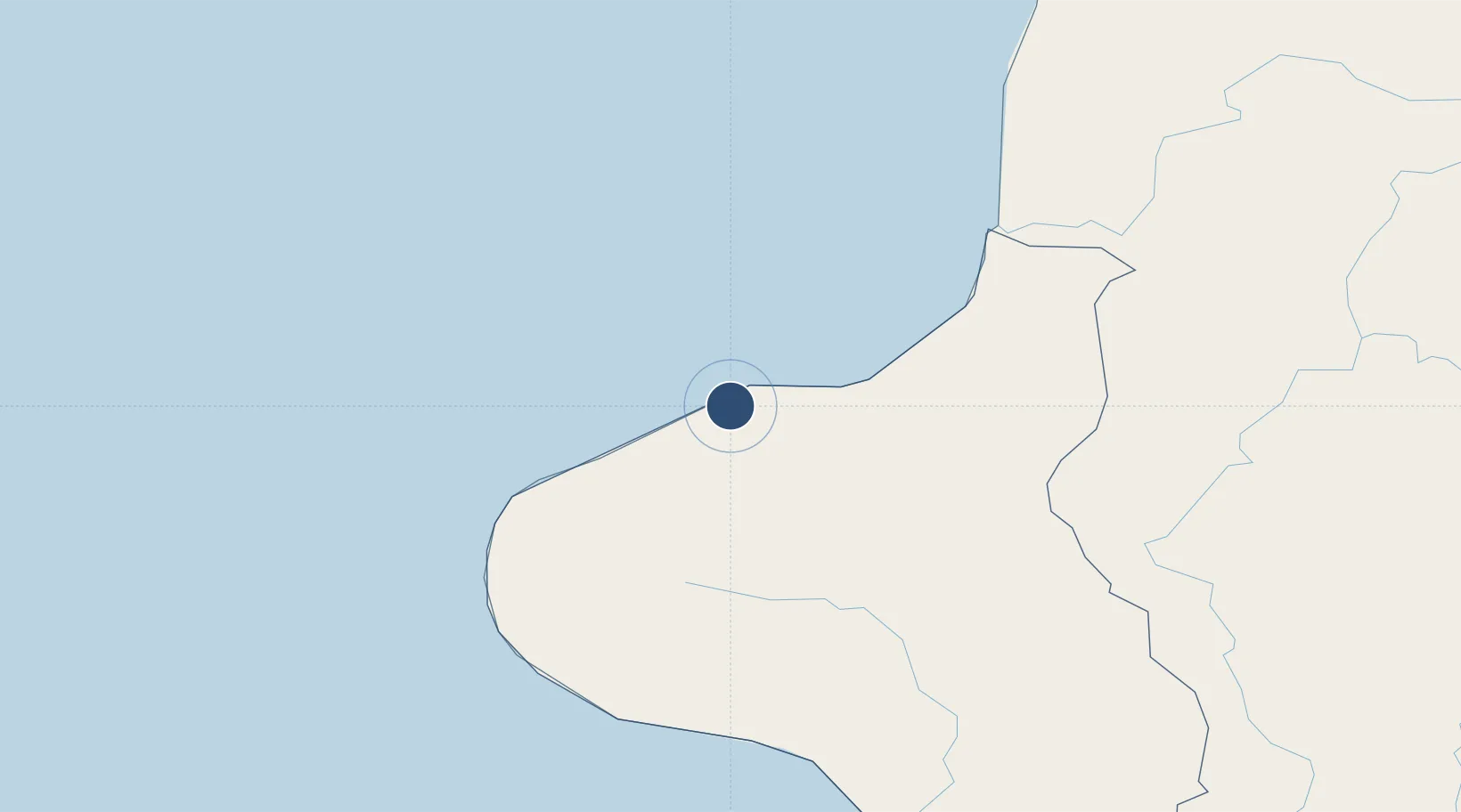
-39.0086°, 174.1790°
4,298 ft
Longest runway
3
Runways
97 ft
Elevation
Runway & Layout

Radio Frequencies
ATIS
127.05 MHz
TWR
124.7 MHz
APP
124.7 MHz
CTAF
124.7 MHz
AFIS
123.7 MHz
CHRISTCHURCH CON
Navaids
NP VOR-DME New Plymouth 114.40 MHz
NP NDB New Plymouth 370 kHz
Runways · 3
| Runway | Dimensions | Surface | True heading | Lit |
|---|---|---|---|---|
| 05L/23R | 4,298 × 148ft | Asphalt | 066° | ✓ |
| 14/32 | 3,937 × 131ft | Grass | 157° | — |
| 05R/23L | 3,281 × 98ft | Grass | 066° | — |
Airport Specifications
IATA code
NPL
ICAO code
NZNP
Airport class
Medium airport
Scheduled service
Yes
Runway surface
Asphalt
Served city
New Plymouth
Location
Nearby Logistics Neighbours
Airports
- 1Wanganui Airport129 km
- 2Hamilton International Airport162 km
- 3Taupo Airport168 km
- 4RNZAF Base Ohakea169 km
- 5Palmerston North Airport191 km
Cities
- 1New Plymouth9 km
- 2Stratford37 km
- 3Taumarunui94 km
- 4Taharoa107 km
- 5Wanganui124 km
Ports
- 1New Plymouth14 km
- 2Wanganui128 km
- 3Tauranga231 km
- 4Tarakohe232 km
- 5Manukau Harbor237 km
Trade Zones
- 1Hicks Bay Area Special Economic Zone379 km
- 2Rotuma-Kadavu Tax-Free Region2356 km
- 3Kalabu Tax Free Zone2363 km
- 4Nausori-Ba Tax-Free Region2371 km
- 5Lautoka Special Zone2399 km
DatabookThe Record of Consolidated Knowledge
New Zealand beyond logistics?