Medium airport · New Zealand
Hawke's Bay AirportNZNR
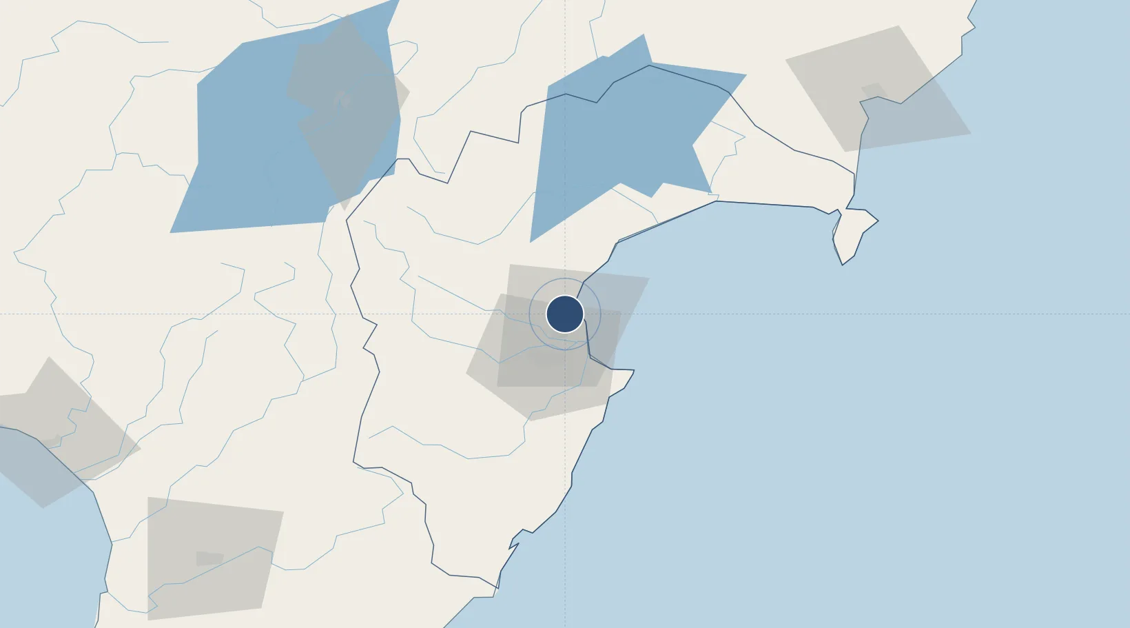
-39.4658°, 176.8700°
5,741 ft
Longest runway
2
Runways
6 ft
Elevation
Runway & Layout

Radio Frequencies
ATIS
128 MHz
Napier Airport Information
TWR
124.8 MHz
Napier Tower
APP
124.8 MHz
Napier Tower
CTAF
118.1 MHz
Napier Traffic (when tower off watch)
Navaids
NR VOR-DME Napier 113.80 MHz
NR NDB Napier 354 kHz
Runways · 2
| Runway | Dimensions | Surface | True heading | Lit |
|---|---|---|---|---|
| 16/34 | 5,741 × 148ft | ASPH | — | ✓ |
| 07/25 | 4,000 × 98ft | COM | 088° | — |
Airport Specifications
IATA code
NPE
ICAO code
NZNR
Airport class
Medium airport
Scheduled service
Yes
Runway surface
ASPH
Served city
Napier
Location
Nearby Logistics Neighbours
Airports
- 1Wairoa Airport68 km
- 2Taupo Airport105 km
- 3Gisborne Airport131 km
- 4Palmerston North Airport143 km
- 5RNZAF Base Ohakea151 km
Cities
- 1Napier4 km
- 2Seaview4 km
- 3Waiouru103 km
- 4Dannevirke106 km
- 5Gisborne133 km
Ports
- 1Napier5 km
- 2Gisborne134 km
- 3Wanganui166 km
- 4Tauranga213 km
- 5New Plymouth248 km
Trade Zones
- 1Hicks Bay Area Special Economic Zone235 km
- 2Rotuma-Kadavu Tax-Free Region2376 km
- 3Kalabu Tax Free Zone2382 km
- 4Nausori-Ba Tax-Free Region2389 km
- 5Lautoka Special Zone2430 km
DatabookThe Record of Consolidated Knowledge
New Zealand beyond logistics?