UN/LOCODE hub · New Zealand
NZGIS
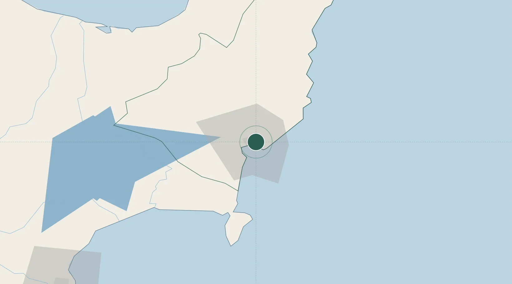
Gisborne
-38.6695°, 178.0188°
38,300
Population
3
Transport functions
Transport Functions
Port
Road
Airport
Hub Profile
Place type
Regional capital
Region
Gisborne
Population
38,300
Time zone
Pacific/Auckland
Elevation
10 m
Logistics facilities
1
Location
Nearby Logistics Neighbours
Cities
- 1Opotiki91 km
- 2Seaview130 km
- 3Napier133 km
- 4White Island146 km
- 5Tauranga199 km
Ports
- 1Napier131 km
- 2Tauranga199 km
- 3Wanganui294 km
- 4Manukau Harbor344 km
- 5New Plymouth348 km
Airports
- 1Gisborne Airport4 km
- 2Wairoa Airport65 km
- 3Whakatāne Airport127 km
- 4Hawke's Bay Airport133 km
- 5Rotorua Regional Airport161 km
Trade Zones
- 1Hicks Bay Area Special Economic Zone120 km
- 2Rotuma-Kadavu Tax-Free Region2283 km
- 3Kalabu Tax Free Zone2289 km
- 4Nausori-Ba Tax-Free Region2296 km
- 5Lautoka Special Zone2341 km
DatabookThe Record of Consolidated Knowledge
New Zealand beyond logistics?