UN/LOCODE hub · New Zealand
NZSEA

Seaview

-39.4667°, 176.9167°
4
Transport functions

Transport Functions

Port
Rail
Road
Multimodal
UN/LOCODE

Hub Profile

Place type
Urban district
GeoNames
Region
Wellington Region
GeoNames
Time zone
Pacific/Auckland
GeoNames
Elevation
6 m
GeoNames

Location

Location of NZSEA
Natural Earth 10m (public domain) · Wellington Region · NZSEA · -39.47, 176.92GoogleOSMYandex

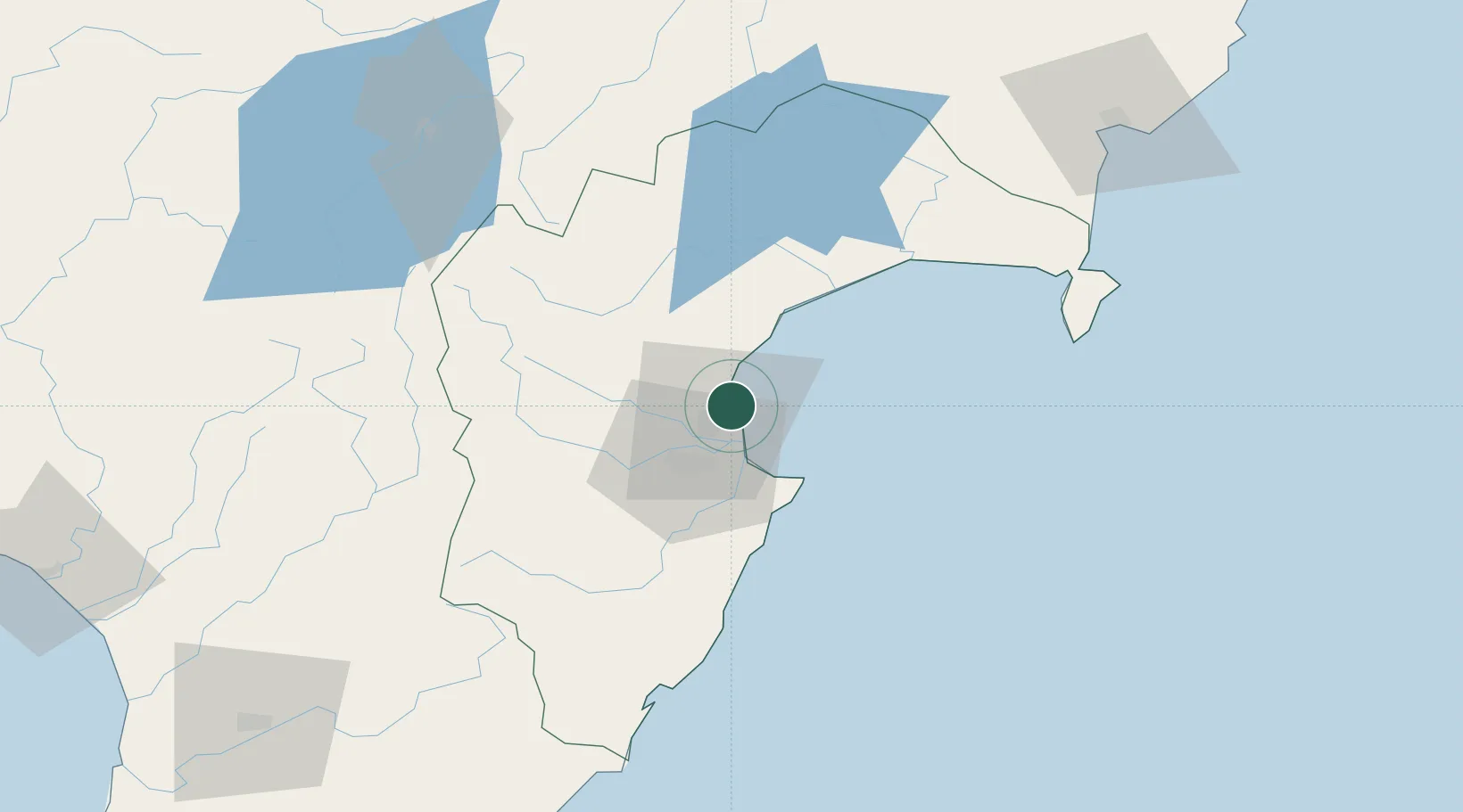
Nearby Logistics Neighbours

Cities
  1. 1Napier3 km
  2. 2Waiouru107 km
  3. 3Dannevirke108 km
  4. 4Gisborne130 km
  5. 5Longburn155 km
Nearest neighbours — logibook spatial index (haversine) over the source coordinates
Ports
  1. 1Napier2 km
  2. 2Gisborne131 km
  3. 3Wanganui170 km
  4. 4Tauranga214 km
  5. 5New Plymouth252 km
Nearest neighbours — logibook spatial index (haversine) over the source coordinates
Airports
  1. 1Hawke's Bay Airport4 km
  2. 2Wairoa Airport66 km
  3. 3Taupo Airport108 km
  4. 4Gisborne Airport128 km
  5. 5Palmerston North Airport146 km
Nearest neighbours — logibook spatial index (haversine) over the source coordinates
Trade Zones
  1. 1Hicks Bay Area Special Economic Zone233 km
  2. 2Rotuma-Kadavu Tax-Free Region2376 km
  3. 3Kalabu Tax Free Zone2382 km
  4. 4Nausori-Ba Tax-Free Region2389 km
  5. 5Lautoka Special Zone2430 km
Nearest neighbours — logibook spatial index (haversine) over the source coordinates
DatabookThe Record of Consolidated Knowledge
New Zealand beyond logistics?
Browse databook

All Sources

LocationsUN/LOCODE
UN/LOCODE — free
Portsthe NGA World Port Index
Public domain (US gov)
AirportsOurAirports
Public domain
Trade Zonesthe World Bank SEZ database
CC BY 4.0
Trade ZonesOpen Zone Map
CC BY
← New Zealand locations