Medium airport · New Zealand
Gisborne AirportNZGS
-38.6633°, 177.9780°
4,298 ft
Longest runway
5
Runways
15 ft
Elevation
Runway & Layout

Radio Frequencies
ATIS
126.4 MHz
TWR
127.3 MHz
APP
127.3 MHz
CTAF
127.3 MHz
Navaids
GS VOR-DME Gisborne 114.20 MHz
Runways · 5
| Runway | Dimensions | Surface | True heading | Lit |
|---|---|---|---|---|
| 14R/32L | 4,298 × 148ft | Asphalt | 165° | ✓ |
| 09/27 | 3,839 × 197ft | Grass | 117° | — |
| 03/21 | 3,773 × 197ft | Grass | 048° | — |
| 14L/32R | 2,503 × 197ft | Grass | 166° | — |
| 14/32 | — | Unknown | — | — |
Airport Specifications
IATA code
GIS
ICAO code
NZGS
Airport class
Medium airport
Scheduled service
Yes
Runway surface
Asphalt
Served city
Gisborne
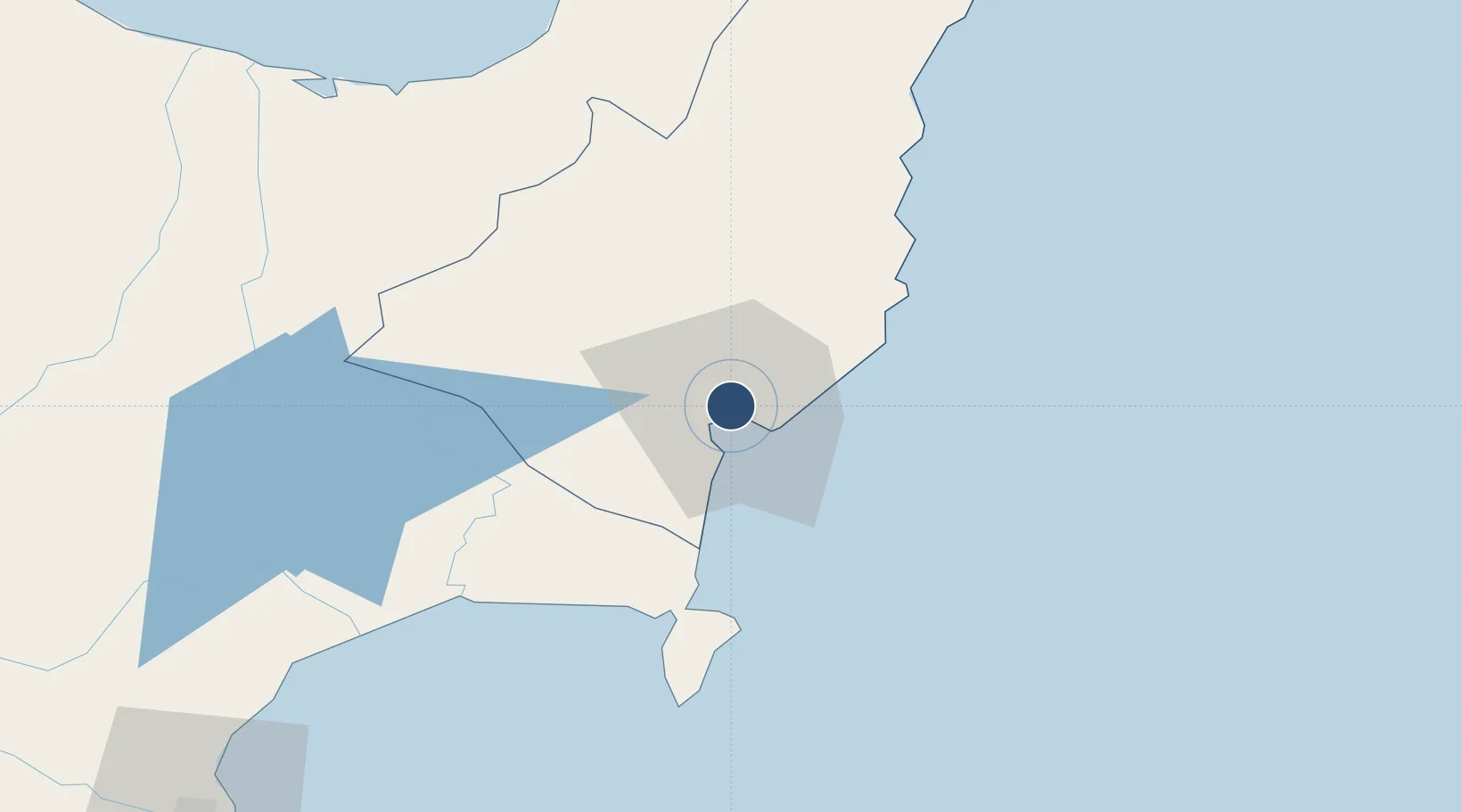
Location
Nearby Logistics Neighbours
Airports
- 1Wairoa Airport63 km
- 2Whakatāne Airport124 km
- 3Hawke's Bay Airport131 km
- 4Rotorua Regional Airport157 km
- 5Taupo Airport165 km
Cities
- 1Gisborne4 km
- 2Opotiki89 km
- 3Seaview128 km
- 4Napier131 km
- 5White Island144 km
Ports
- 1Gisborne5 km
- 2Napier129 km
- 3Tauranga196 km
- 4Wanganui291 km
- 5Manukau Harbor340 km
Trade Zones
- 1Hicks Bay Area Special Economic Zone119 km
- 2Rotuma-Kadavu Tax-Free Region2282 km
- 3Kalabu Tax Free Zone2288 km
- 4Nausori-Ba Tax-Free Region2295 km
- 5Lautoka Special Zone2340 km
DatabookThe Record of Consolidated Knowledge
New Zealand beyond logistics?