UN/LOCODE hub · New Zealand
NZNPE
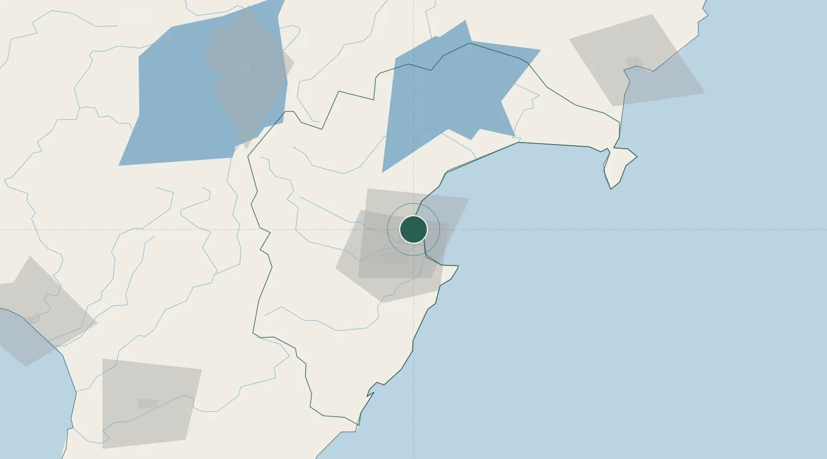
Napier
-39.4884°, 176.8983°
66,800
Population
2
Transport functions
1
Container terminals
Transport Functions
Port
Airport
Hub Profile
Place type
Regional capital
Region
Hawke's Bay Region
Population
66,800
Time zone
Pacific/Auckland
Elevation
6 m
Logistics facilities
9
Container terminals
1
Location
Nearby Logistics Neighbours
Cities
- 1Seaview3 km
- 2Dannevirke105 km
- 3Waiouru106 km
- 4Gisborne133 km
- 5Longburn152 km
Ports
- 1Gisborne134 km
- 2Wanganui168 km
- 3Tauranga216 km
- 4New Plymouth251 km
- 5Wellington268 km
Airports
- 1Hawke's Bay Airport4 km
- 2Wairoa Airport69 km
- 3Taupo Airport109 km
- 4Gisborne Airport131 km
- 5Palmerston North Airport143 km
Trade Zones
- 1Hicks Bay Area Special Economic Zone236 km
- 2Rotuma-Kadavu Tax-Free Region2378 km
- 3Kalabu Tax Free Zone2384 km
- 4Nausori-Ba Tax-Free Region2392 km
- 5Lautoka Special Zone2432 km
DatabookThe Record of Consolidated Knowledge
New Zealand beyond logistics?