Seaport · New Zealand
Bluff HarborNZBLU
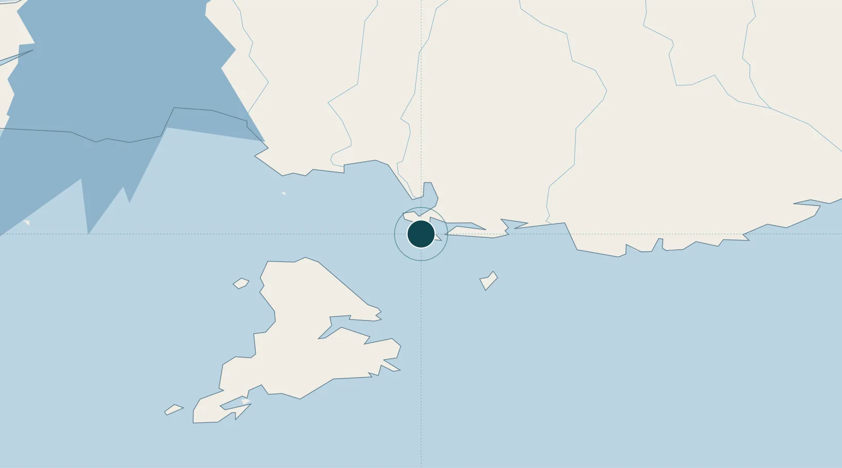
-46.6000°, 168.3333°
12.5 m
Channel depth
1
Container terminals
33.0
Port liner connectivity
Channel & Berth Profile
Pilotage, Tugs & Services
Pilotage compulsoryYES
Pilotage availableYES
Pilotage advisableYES
Local assistanceYES
Tug assistanceYES
Salvage tugsYES
Shore powerYES
Potable waterYES
MedicalYES
Garbage disposalYES
Facilities & Capabilities
Container—
Ro-Ro—
Liquid bulk—
Dry bulk—
Oil terminal—
Break bulk—
Dry dockNO
RepairsNO
BunkeringYES
Rail linkYES
Dangerous cargo—
ISPS security—
Harbour Specifications
Harbour size
Small
Harbour type
Coastal (Breakwater)
Shelter
Excellent
Water body
South Pacific Ocean
Tidal range
2 m
Overhead limit
Yes
Pilotage
Yes
Liner Connectivity
33
PLSCI
Port Liner Shipping Connectivity Index for Bluff Harbor, as published by UNCTAD for the latest available quarter. Higher values indicate stronger scheduled liner-shipping integration.
Shown relative to the highest per-port PLSCI in the dataset (1,657.9).
Location
Container Terminals · 1
BLUFF HARBOUR CONTAINER TERMINAL
BHCT SOUTH PORT NEW ZEALAND LTD
Nearby Logistics Neighbours
Ports
- 1Otago Harbor197 km
- 2Timaru334 km
- 3Akaroa478 km
- 4Port Lyttelton479 km
- 5Greymouth517 km
Cities
- 1Tiwai Point-Bluff Port2 km
- 2Makarewa30 km
- 3Edendale47 km
- 4Milton136 km
- 5Deep Cove157 km
Airports
- 1Invercargill Airport21 km
- 2Manapouri Airport130 km
- 3Dunedin International Airport162 km
- 4Alexandra Aerodrome174 km
- 5Queenstown Airport179 km
Trade Zones
- 1Hicks Bay Area Special Economic Zone1285 km
- 2Latrobe Valley Economic Growth Zone2018 km
- 3Rotuma-Kadavu Tax-Free Region3297 km
- 4Kalabu Tax Free Zone3304 km
- 5Nausori-Ba Tax-Free Region3312 km
DatabookThe Record of Consolidated Knowledge
New Zealand beyond logistics?