Transport Functions
Port
Hub Profile
Region
STL
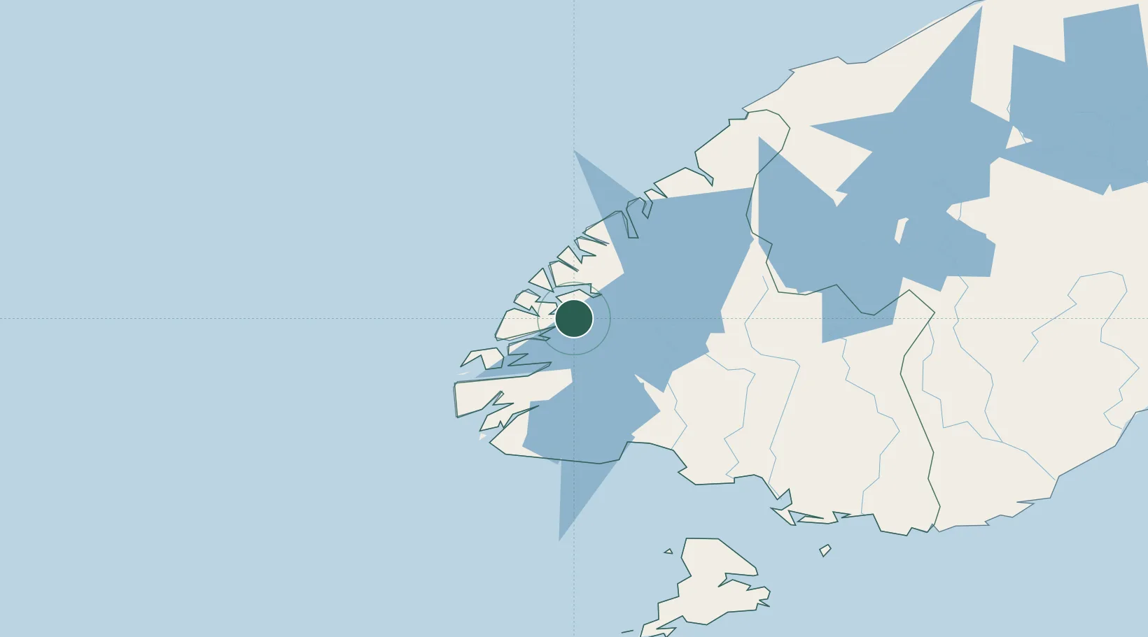
Location
Nearby Logistics Neighbours
Cities
- 1Milford Sound106 km
- 2Makarewa135 km
- 3Tiwai Point-Bluff Port156 km
- 4Bluff157 km
- 5Edendale159 km
Ports
- 1Bluff Harbor157 km
- 2Otago Harbor274 km
- 3Timaru343 km
- 4Greymouth467 km
- 5Port Lyttelton487 km
Airports
- 1Manapouri Airport40 km
- 2Queenstown Airport134 km
- 3Invercargill Airport140 km
- 4Alexandra Aerodrome176 km
- 5Wanaka Airport183 km
Trade Zones
- 1Hicks Bay Area Special Economic Zone1262 km
- 2Latrobe Valley Economic Growth Zone1890 km
- 3Rotuma-Kadavu Tax-Free Region3210 km
- 4Kalabu Tax Free Zone3218 km
- 5Nausori-Ba Tax-Free Region3226 km
DatabookThe Record of Consolidated Knowledge
New Zealand beyond logistics?