Transport Functions
Rail
Road
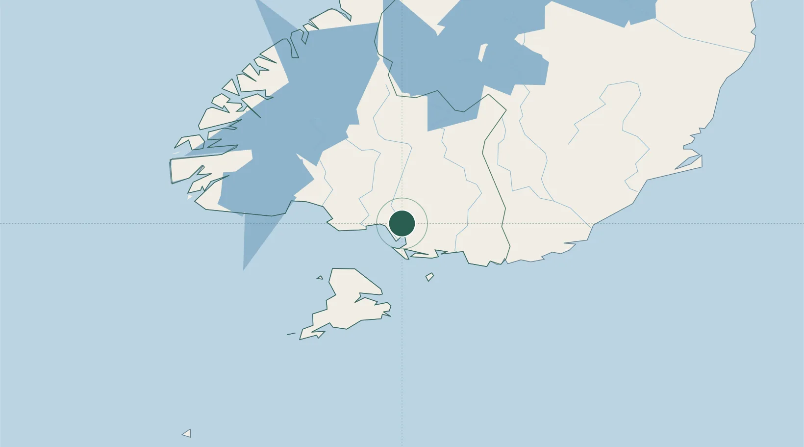
Hub Profile
Place type
Populated place
Region
Southland
Time zone
Pacific/Auckland
Elevation
21 m
Location
Nearby Logistics Neighbours
Cities
- 1Tiwai Point-Bluff Port28 km
- 2Bluff29 km
- 3Edendale33 km
- 4Milton127 km
- 5Deep Cove135 km
Ports
- 1Bluff Harbor30 km
- 2Otago Harbor185 km
- 3Timaru312 km
- 4Port Lyttelton459 km
- 5Akaroa459 km
Airports
- 1Invercargill Airport9 km
- 2Manapouri Airport104 km
- 3Alexandra Aerodrome148 km
- 4Dunedin International Airport149 km
- 5Queenstown Airport149 km
Trade Zones
- 1Hicks Bay Area Special Economic Zone1262 km
- 2Latrobe Valley Economic Growth Zone2009 km
- 3Rotuma-Kadavu Tax-Free Region3268 km
- 4Kalabu Tax Free Zone3276 km
- 5Nausori-Ba Tax-Free Region3284 km
DatabookThe Record of Consolidated Knowledge
New Zealand beyond logistics?