Medium airport · New Zealand
Invercargill AirportNZNV
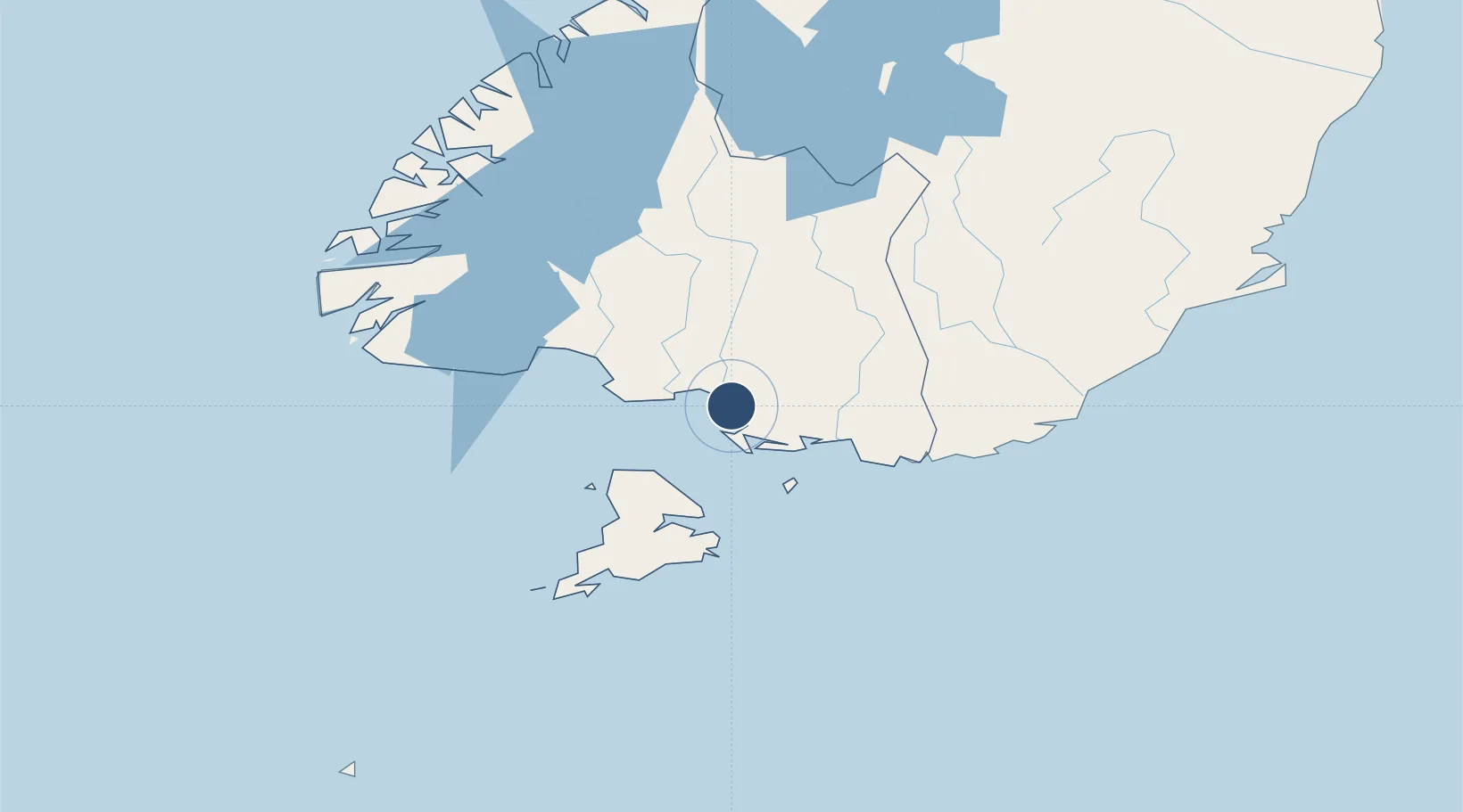
-46.4124°, 168.3130°
7,251 ft
Longest runway
4
Runways
5 ft
Elevation
Runway & Layout

Radio Frequencies
TWR
118.5 MHz
APP
118.5 MHz
CTAF
118.5 MHz
Navaids
NV VOR-DME Invercargill 116.80 MHz
NV NDB Invercargill 214 kHz
Runways · 4
| Runway | Dimensions | Surface | True heading | Lit |
|---|---|---|---|---|
| 04/22 | 7,251 × 148ft | Asphalt | 065° | ✓ |
| 12/30 | 2,996 × 82ft | Grass | 141° | — |
| 04R/22L | 2,280 × 66ft | Grass | 065° | — |
| 07/25 | 1,398 × 66ft | Grass | 093° | — |
Airport Specifications
IATA code
IVC
ICAO code
NZNV
Airport class
Medium airport
Scheduled service
Yes
Runway surface
Asphalt
Served city
Invercargill
Location
Nearby Logistics Neighbours
Airports
- 1Manapouri Airport110 km
- 2Dunedin International Airport155 km
- 3Alexandra Aerodrome157 km
- 4Queenstown Airport159 km
- 5Wanaka Airport202 km
Cities
- 1Makarewa9 km
- 2Tiwai Point-Bluff Port19 km
- 3Bluff20 km
- 4Edendale38 km
- 5Milton131 km
Ports
- 1Bluff Harbor21 km
- 2Otago Harbor191 km
- 3Timaru320 km
- 4Port Lyttelton466 km
- 5Akaroa467 km
Trade Zones
- 1Hicks Bay Area Special Economic Zone1270 km
- 2Latrobe Valley Economic Growth Zone2010 km
- 3Rotuma-Kadavu Tax-Free Region3278 km
- 4Kalabu Tax Free Zone3285 km
- 5Nausori-Ba Tax-Free Region3293 km
DatabookThe Record of Consolidated Knowledge
New Zealand beyond logistics?